Showing posts sorted by relevance for query conasauga loop drive directions. Sort by date Show all posts

Wednesday, June 24, 2020

Conasauga Creek Scenic Loop Drive & Buck Bald Directions


Conasauga Creek 

Scenic Drive & Picnic Directions


Monday June 15, 2020

Dana Koogler 


  I am starting a new blog series for various places to take a scenic, fun drive in the country and have a picnic or cookout.    I hope it will be a useful and inspiring tool for folks to access. It will be helpful to myself to be able to refer back to it.    The new series will be searchable by looking up Scenic Drives and Picnics.    I have written a blog on great picnic locations twice before and it was a success both times.     I think this will be even better.
It will be suggestions and directions that can be printed off.  

      
 Overview-- Scenic Drive down to Tellico Plains and around a loop from Hwy 68, around Witt Road, to Hotwater Road and back to Hwy 68 at the Coker Creek Visitor Center.  We cooked out at Buck Bald at the end of our day.   It is right at 12 miles from the point you start at FR 341 along Hwy 68 and come out across from the welcome center.  

**Warning**
This drive is a mountain road and as such is rough and rutted in places.  It requires you to drive through streams four or five times.   It is recommended to drive it with a high clearance, four wheel drive vehicle.
We noted downed trees in numerous places along it.  It probably isn't a bad idea to carry a chain saw or be prepared to turn around if need be.  My daughter drives a Toyota Highlander and is unaccustomed to four wheeling, but handled it like a boss.   Same warning applies for driving to Buck Bald except the road is in better condition and you do not have to ford streams.

Conasauga Creek Scenic Loop 
      Driving Directions:  From Tellico Plains at the intersection of Hwy 68 and Hwy 165 (Cherohala Skyway) stay straight on Hwy 68 South for 2.20 miles and turn RIGHT onto FR 341 (Witt Road) which is signed as a turn for Conasauga Falls.   Stay LEFT at the spur road for Conasauga Falls. 
Remain on this road for 7.5 miles.  At this point you will come to an intersection where the road appears to bend left or go straight. Stay STRAIGHT here though the road is rough and rutted looking.  
Drive for another mile and bear LEFT onto Cannon Ridge Rd. 
Drive 0.20 miles and Stay STRAIGHT on Epperson Rd. for another 0.70 miles and bear LEFT onto Hot Water Rd.  Stay straight on Hot Water road another 2.50 miles and you will come back out on Hwy 68 
directly across from the Coker Creek Welcome Center.  

  Route Highlights

 This route provides an opportunity for a side trip for a short easy hike by driving the Conasauga Spur Rd to its end.. you could hike down and back to see the beautiful Conasauga Falls.  
IMG_9346.JPG
Above: Conasauga Falls is about 1.5 miles Round trip.
   Numerous shallow creek fords to drive through on your way provide scenic places to relax and stroll around. Kids can play safely in the creek.
A side trip downstream from the first ford provides an easy view of some very scenic cascades on Conasauga Creek as well as a wide place to park and picnic or play.      The first and 3rd fords were our favorites for both scenery, pull off space and good play spots.
Above: Conasauga Creek near the first ford. 

Above: Down from the first ford about 300 feet is this pretty spot.      Gorgeous forest drive with Spring and Summer wildflowers abundant on the roadsides.  Emerges at a residential area where the drive through the country provides a view of the Unicoi Crest in the distance.  Beautiful country scenery with barns, quaint country homes and lawns, horses, and old buildings.  
Above: Third crossing is a glorious spot to play in the creek or bring your fishing pole!      Restroom stops during non Covid times are available in Tellico Plains at the visitor center as well as at the Coker Creek Welcome Center once you come back out on Hwy 68.    

        Buck Bald Driving Directions

From the Coker Creek Welcome Center along Hwy 68 head SOUTH on Hwy 68 for five miles to a signed turn to the LEFT onto Old Highway 68 for Buck Bald.  Stay on the main gravel road that climbs 2.25 miles up to the summit of Buck Bald.  You will only encounter one intersection. Stay LEFT and keep winding round the mountain til you come to the top. 

  
 Buck Bald Attractions:
360 degree view atop a grassy bald of the entire Unicoi Crest and surrounding mountain ranges.   One picnic table available on top to use. 
No trash receptacles so take your trash with you when you leave.  No restroom facilities.

 Quiet, cool mountain top with plenty of space to let kids run around and play or fly a kite, or watch the sunset. 

**What Could We Have Done Better? **
Take along Bleach wipes for the picnic table.
Take along a larger trash bag
Bring own lawn chairs or blanket for sitting on the ground should the table already be in use by others.
 File:Camping-Chair-Background.gif - Wikimedia CommonsDIAMOND SHIELD - "Postage Stamp" Doll Quilt — Another Chance Quilts

 Buck Bald to the Southeast.jpg
above: Buck Bald has a 360 degree view! 
Below: Getting ready to fire up the grill to cook burgers


Thursday, June 25, 2020

Conasauga Loop Drive, Kimsey Mountain Road and Buck Bald


Arrowwood bloom along Witt Road


Conasauga Loop Drive, Kimsey Mountain Road and Buck Bald 

 Saturday June 13, 2020

Dana & Kenny Koogler 


    We had plans on Friday and Saturday to go camping.    We planned to meet up with our friend Jay and do some exploring.   We got an unexpected, nasty surprise that put the killed our plans.  Jay was gracious about it as always.  We felt very disappointed.  Our back up plans also fell through so we ended up going home to start over.
   
  We talked on the way home about what we might do that might salvage the weekend?  The one thing we both knew we couldn't stomach was another camping disappointment.   We decided instead to take the RZR and explore some scenic country roads we'd been wanting to visit.   We'd talked for a couple years about a revisit to the Kimsey Mountain Road from end to end.    Our first trip was Spring so now we'd see it in Summer.  We agreed we'd do that and make a long day of it.  We'd have a cook out.   We'd be in no hurry to get home.  We used the unexpected evening at home to prepare.
 

Conasauga Creek Scenic Drive


   We ended up going for a drive I'd been on twice before this season.
The loop around Conasauga Creek on Witt Road to Hotwater Road.  I had found some back roads off it that I wanted to check out. Kenny had never been and I knew he'd find it pretty.   I hoped we'd see some nice Summer wildflowers.   I had also spotted from a satellite some structures back one of the side roads.  I was intrigued.  At least one of those old roads was a former county road that went through!


 Above: Witt Road starts off the Conasauga Creek Loop and is a fair road at the beginning.
Above: We unloaded here to take off
 
 
Above: Second creek crossing along the drive.  The water is extremely clear looking downstream.
         
Above: The fourth crossing is a little smaller.
 
 Above: a wildflower I've only seen once before.  Narrow leaf whitetop Aster (Sericocarpus linefolius)
Above: a huge tangle of downed trees across Witt Road.
     I will hit the highlights of this drive. The description and directions will cove a lot of it on the link above.   Directions for how to picnic at Buck Bald are also on there.    That is where we ended our day with a cookout.
 Above Pink spirea growing along the roadsides.  It is very pretty, but it is non native.  It was used as an ornamental shrub long ago. It was cultivated in 1870. It spread far and wide as an invasive species.
 Above: third creek crossing.
 Above: some sort of hedge nettle blooming on a side road
 above: Smooth phlox was thick along the roadsides.

   I should have brought my GPS with me. I took waypoints for these features I wanted to find, but then forgot and left the waypoints and the GPS in the truck. We found a pull off near the start of Witt Road where we parked the truck and wagon to unload the RZR.  Our machine is tagged for medium speed use so it is legal on backroads.     It was a fun ride and pretty.  The first back road we tried where I expected to find the remains of an old house or manmade structure.. we missed it.  It was the first gated road and we tried the second one.
The right turn side road we tried dead ends and there is nothing out it.  It is worth mentioning for future reference there is another good pull off further down Witt Road on the right.  It is bigger and not gated.   
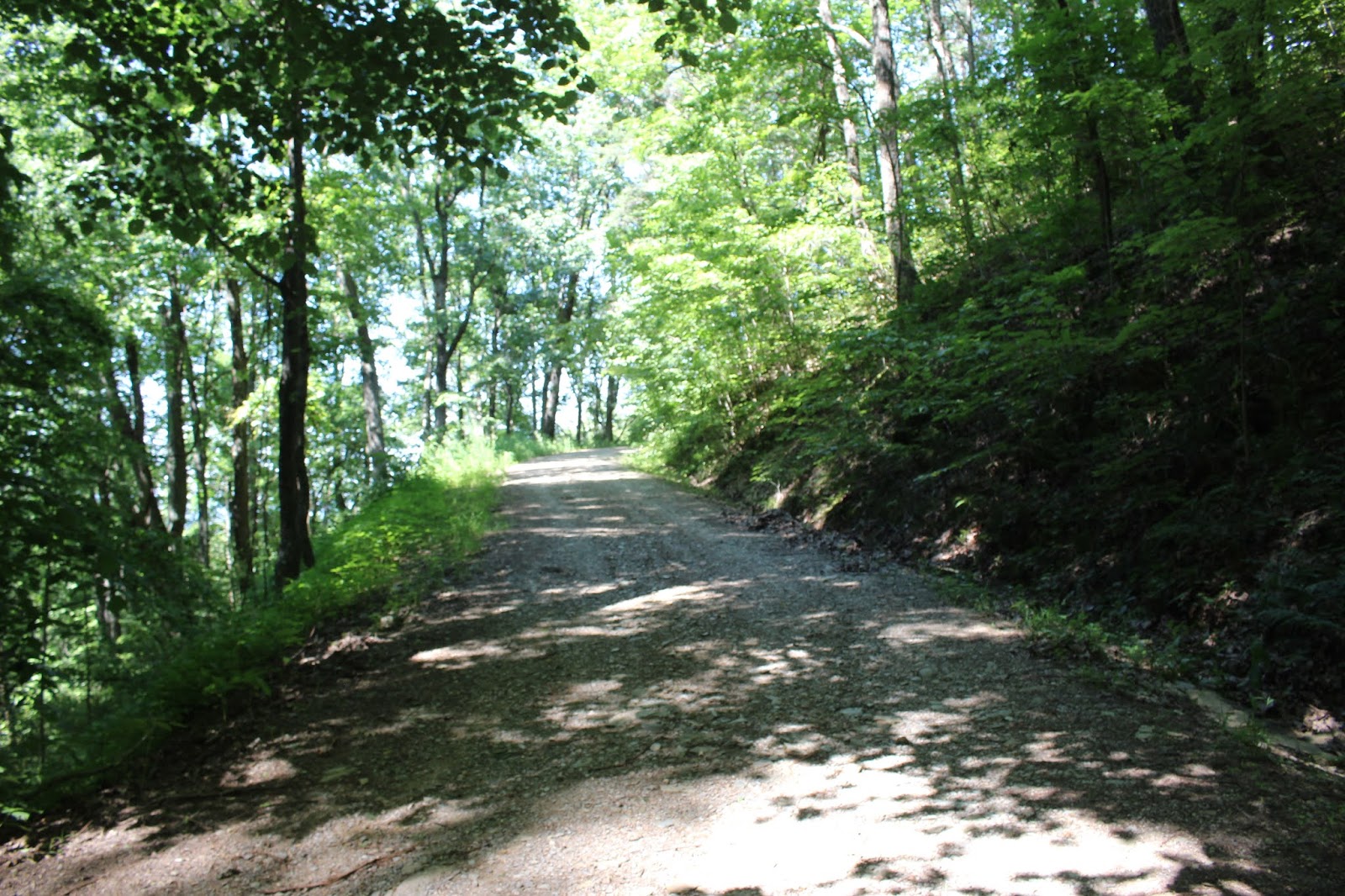
 Above: shady forest drive on Witt Road
Above: a view of the beautiful Unicoi Crest 


    Above: ditch lilies were thick along the road here.      Once we were back on Hwy 68 we had a choice to make. We pulled over to eat lunch at the visitor center and get our bearings.  By rights we should have had to turn around and go back the way we came.  Hwy 68 is a road with a 55 mph speed limit.  The distance back to the truck was 7.5 miles on Hwy 68. The distance backtracking the way we'd come was 10.5  Kenny was in his navigational swivet mode.   He was willing to chance a ticket for using the RZR on the main road.   We made it back without incident and I was relieved.  I felt better the moment we were off Rt 68 and back on a secondary road.


 Above: Coker Creek Welcome Center.  It has restrooms and a nice gift shop and lots of info when open.

 Kimsey Highway 


      We loaded up and headed down Hwy 68 toward Harbuck.  That is where the eastern end of the Kimsey Mountain Road lies.   I later realized we were 8 miles from the Georgia line.  It is way down there.     We found a place to park at an abandoned grocery store with a large lot.  Someone else had parked their 18 wheeler there for the weekend.    We unloaded and drove down Hwy 68 less than a mile to our turn onto the Kimsey Road.   It is a historic route that runs from Harbuck all the way across Kimsey Mountain to Archville.    We had done this trip once before, but it had been a long time.  I wanted to experience it in another season and so did Kenny.
 Butterfly weed was thick today!
 Above & below: Old Turtletown Elementary School sits abandoned

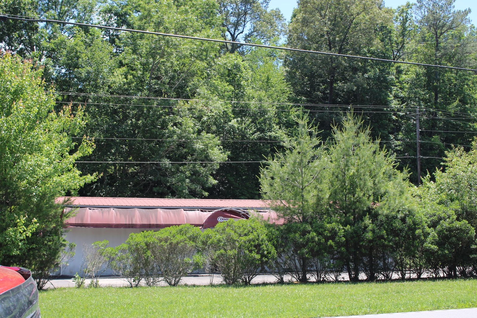
 Above: Century Bank sits empty and abandoned.
Above: Tire place... this is is Turtletown
          It is remote and isolated as well as historic.   I will include directions for how to access this drive.  The short story of it is that while we enjoyed it and our curiosity is now satisfied, it is not that great of a drive.  It has some pretty views and a few Summer wildflowers, but not enough to endure a 15 mile drive.

 Making matters worse was the fact we were in the RZR.  That meant we'd have to return the way we came.   It was too far to try to go from Reliance all the way back around.   Next time we do this kind of exploring it is going to be in my jeep.
Taking the RZR just complicates things. 

   Harbuck-- Hwy 68 End of the Kimsey Highway

History of the Kimsey Road 
     Let me start by clarifying what a "highway" is round these parts.
They sure aren't paved roads or interstates.  They are just old dirt roads that get from point A to point B. Compared to the way things were in the past they are a great improvement.  The mountain started off with no road. Then the Cherokee Indians formed a path they used across Little Frog mountain from end to end.
Later down the line the road such as it was fell into disuse because of more and better roads elsewhere.   It got in such a condition that a postal carrier froze to death at what is now Jenkins Gap.  He is buried up there where they found him frozen.    Later on an area family had a fire and one of their daughters burned to death.  She is also buried at Jenkins Gap.   Dr. Lucius Kimsey, an area physician, was a very compassionate man and civic leader.  He was a proponent of a road across the mountain.  He was one who helped convince the powers that be to get the Little Frog Trail improved.  Somewhere between 1916 and 1920 it was finished.  It became for a time a popular tourist road as well as a better means to get from Harbuck to Archville.     Today the road serves as a means across the mountain, but is mostly used by hunters, hikers and aimless wanderers.
Below is an image I found of Dr. Kimsey in his car.  It looks like a model T.
The image is not mine, but one I found on the internet on Find a Grave.
   

Highlights of our Trip

  We began our drive up the mountain road past the back of Vic's Auto Parts and past a few houses.  We saw a few wildflowers.  Old miniature, climbing red roses that have been there for who knows how long.  Ditch lilies in a few places.    We took a side turn on Ditney Road and went way out there, but it didn't have much to see so we doubled back. It did have one vista off to the east.  

 Above: old miniature climbing roses
above: daylilies growing along Kimsey Road


 above: a sign at the start of the Kimsey Road indicates it is 15 miles to Archville.. all the way across.  It indicates Sassafrass Lookout in 6 miles. We'll address that second one in this report.
 above: a sign indicating you are in the Cherokee WMA.  I did not realize a couple things.  1.  that there even WAS a Cherokee WMA and 2. that wildlife management areas could be widely scattered around. Parts of this one are clear up near Erwin in the northern Unakas This sign sits at the right turn onto Ditney Road. 
Above: the only pretty thing we saw on Ditney Road was the vista shown above. It was the prettiest of the whole day!

    We doubled back to the main road and continued.  We had it in our heads we wanted to see the Sassafrass Lookout.  I knew there used to be an old fire tower atop Sassafrass Knob near the Little Frog summit.  I knew the tower was long gone, but I figured that had to be it.  I knew about where the left turn to go up there should be.    We pushed onward hoping to find it. 
 Above: a landslide on the north of Kimsey highway.

 Above: Flame azaleas brightened the forest along the road today.


Above: when you get near the sharp left turn for the side trail to the lookout this is what the Kimsey Road is like.  It is in pretty good shape.
We found the spur road gate open.  We continued.
 Above: the slope above the spur road is thick with ferns. Kind of pretty to start with.
Above: the Sassafrass Lookout spur road was like this.  Here it is in all its Summertime glory.  This shot is actually better than some of it.  Downed logs. Waist high weeds including stinging nettles.  We stirred up an angry mama grouse and one of her chicks.  We had another 3/4 mile to go from this point. It was a good place to get snake bit, chiggers or ticks.  We'll come back to check this out when the weather is cool and the snakes are in bed.  Do not waste your time hunting for a lookout easily accessible along the road at 6 miles in.  We found out the hard way.

     Much of the old road is rather boring in Summer.  There is not a lot to see.
It is a mountain that has little or no water or streams especially in Summer.
The Summer wildflower selection is very limited.  I didn't hate it, but it was a bit of a let down.   Many of the historic features along it are very hard to find.

    I remembered from the previous trip there was a spot that was open near some power lines.  We had a view there.    We found it today again.

 Above: one spot along the road in Summer gives a partial view to the north
 Above: the power line cut across the mountain gives this view to the southeast. The Benton MacKaye Trail crosses here
 Above:  the view from the powerline cut to the north is pretty
 Above: Indian pinks were one of the few Summer wildflowers we spotted. We didn't see a lot of these.
 Above: Kimsey Mountain Highway rambling through the woods
 Above: second time this year we had a baby walkingstick insect ride with us!
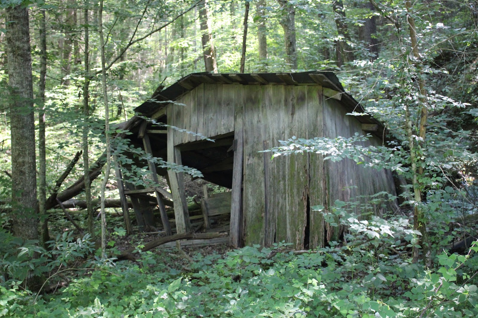
Above: old tumble down shack is the one structure along the road.


    We saw the trip through end to end.    Once we got to the end we turned and headed back.  We took one detour out Smith Mountain Road.  We jumped up another mama grouse and a whole nest of baby chicks.  They were so cute, but we didn't linger as she was hopping mad.   Smith Mountain Road is a connector road that is as unremarkable as Kimsey Highway in Summer.   I imagine it is pretty in Fall with Autumn colors and in Spring it may have some good wildflowers.    Studying the map and taking it with you would make it possible to check out different loops here.  We did not attempt it today.

     I was dreading the trip back across, but it went well. It was not as long as I thought it would be.    We arrived back at the truck and old grocery store parking lot.  We loaded up and headed back toward Tellico Plains.   The area along Rt 68 is a pretty drive with lots to see. 

         We decided to stick to the plan and have our cookout on Buck Bald.
Directions for that are in the link at the top.    It was a good choice.  The view was 360 ° of the mountains.  It was cool and comfortable up there.  We had the place to ourselves to start off.  We made use of the single picnic table to cook burgers and corn on the cob.  We had watermelon for dessert.   It was a lovely end to our day.
 The view from Buck Bald
 Kenny's truck and our rig
 Above: portable grill for cooking dinner. It was yummy!
above: sweet young couple who came up to the bald for Prom pictures. Nick Brown is the fellow's name, but I am sorry.. I don't recall the girl's name.  I'm getting senile.  They were from Smoky Mountain Christian Camp.


Kimsey Highway Directions: 

Heading down SR 68 South from Coker Creek drive 4.60 miles  from the junction of 68 with Rt. 123 (on the left.)   Turn right on a gravel  road that goes up  behind Vic's Auto Parts store.    The drive is 15 miles across
to Greasy Creek at SR 30. No gas, bathroom facilities or other amenities are available on the road, but stores are at each end of it.  

Heading north on SR 68 from Hwy 64 drive 4 miles and turn left just after Vic's Auto Parts store on the road that goes behind it and starts uphill. It is residential to start with,but it is not someone's driveway.  

The route goes winding across Little Frog Mountain. You will see various roads joining it, but unless you specifically need to go on one of those stay on the main road.

  Once across to Archville and Rt 30 a right turn will take you toward Reliance and a left turn will take you back down to Hwy 64 and Parksville Lake.


Alternative Picnic Spots

There is a nice picnic area along Hwy 68 on the right heading north. 
We were unsure if it was public or private. It is public use.  Plenty of parking and a pavilion.   It is located about a quarter mile north of the Farner Post office on the right heading north.  The way point for it is 
35.126243, -84.347691  


There is a single picnic table on the right near the Hiwassee Bridge at the junction with Shadwick Branch. It is in poor condition.  There is one more about 1/2 mile further up the road on the left next to the Hiwassee River. 

Should you chose to drive all the way through the Kimsey Highway toward Reliance there are two nice picnic areas heading  northwest on Rt. 30.
Both have restrooms.  The first one is on the right. Hiwassee River Picnic Area
and a little further on the left is Quinn Springs which has a pavilion.

Below is a video of Lowry Falls which is in Reliance.  It is right by the road and would make a nice side trip.