
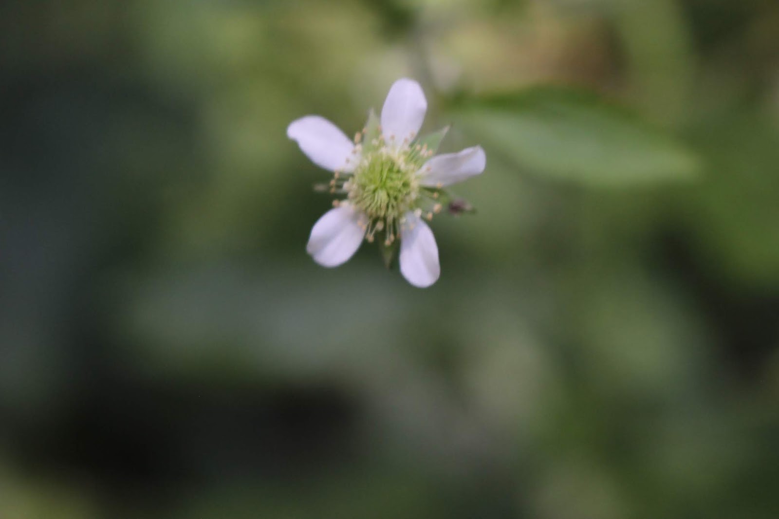
White Avens blooming at Rock Island, TN
Cumberland Plateau Camping Trip-Mountain Glen RV Park Part 2 -Rock Island
Kenny & Dana Koogler
Friday June 14, 2019

Above: Spring Castle at Rock Island State Park
Below is a short video of Spring Castle
Jay left for work so we went found to see Twin Falls. Today was perfect weather. We woke to a cool 48 degrees. The day was clear and sunny. It warmed up to seventy. We walked down to view the raging Twin Falls. It was as pretty and powerful as ever. We saw one water snake in the rocks. We turned going back to the trail to continue far enough to view Little Falls. It is a cool place. The falls is a grotto of tufa. Plant matter has absorbed calcium from the water to form a small cave or arch with holes in it! We walked all around and through it. It was hard to believe we'd not been to this. We tried to find Ice Hole falls half -heartedly, but will need to try that again.

Above: Twin Falls
Below is a short video of the powerful Twin Falls

Above: Kenny standing beside Little Falls
Below: Looking out of one side of the cave/grotto behind Little Falls

Below is a short video of Little Falls that better shows the lay of it
We ended up driving to McMinnville for lunch at Collins River Barbecue. It was a nice place, but the pork barbecue was not good. I'd go back, but order something else. McMinnville is a charming town. It is like Mayberry only prettier! After lunch we doubled back to Rock Island to resume our day of hikin.
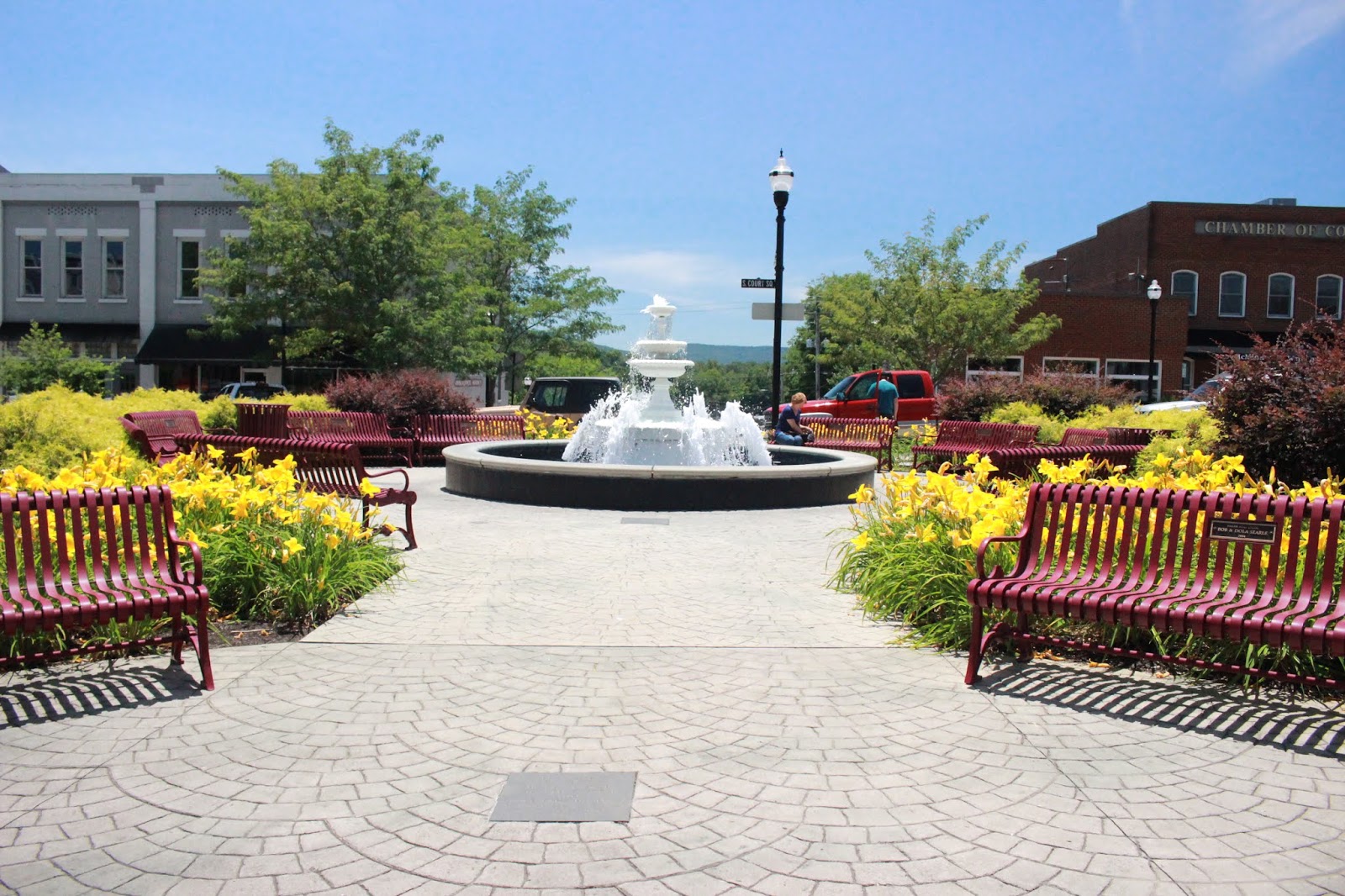
Below are a series of photos of the beautiful downtown square in McMinnville. I want to go back to check out the town more. It is very attractive and interesting.


We had visited Rock Island many times. The very first time was just a day trip. It was probably about 2004 when we visited so it doesn't stand out real clear in my memory. I do recall seeing more waterfalls than just the main ones, but I do not believe we saw the real Blue Hole Falls. If we did we didn't do it correctly. We must have gone down the path and to the river and seen only the portion at the bottom corner. Why?? .. I don't know. We drove round there to hike it today. The trail is signed in the parking area as 0.5 mile one way strenuous. We went down wooden steps at first just like many other trails we've hiked anywhere. At the bottom of them the trail changes over to metal stairs fastened to the bluff. Down two flights of those the first thing you come to is a falls. We had read Gregory Plumb's description of the hike so we were expecting lots of water.

First glimpse of many portions of Blue Hole Falls. It is not one waterfall, but many.
Nothing could prepare me for what we encountered. The cliff face was bursting forth not only with water, but vibrant green life of every sort. Ferns of all shapes and sizes dotted the cliff face. Wild hydrangea and vines of all types hung down along with alum root's delicate flowers and frilly leaves. Big leaf magnolia trees along with many other sorts of trees populated the slopes below the bluff. Once we were off the metal stairs the next portion was
where the stream and the trail are the same. They have installed metal and wood grating ramps to help make the terrain less dangerous. A cable is there for this portion of the hike to hang onto. The challenge of the terrain, and the dramatic , beautiful setting will make this forever a favorite hike. I was sure then we could not have done this hike properly for it would have made a lasting impression on me.
Below: I am looking back up the second set of metal steps from the first section of the falls. You can barely glimpse Kenny's orange t-shirt behind the steps.

I am morbid or crazy or both. Going down the metal steps the image of the rusting out set of metal stairs still clinging to the bluff near Curtain Falls and Great Falls entered my mind. Those are no longer in use, but still hanging there for all to see and fear!
I hoped these stairs were securely fastened. They sure looked to be. I couldn't help wondering if one day these stairs would end up in similar shape? I'm betting they do. You can see in the photo above the big blur caused by a water droplet. No amount of wiping or positioning can eliminate all the spray here.
We went down the grating provided with water gushing all around our feet. The soil is squishy. We approached various portions of the falls, and saw freshwater mussel shells. I also saw whole, still living mussels. They are up on an bluff. They don't live there normally, but the Collins River's flow through the bank is so powerful it carries them with it and out onto the ground they go. Thankfully for them it stays wet enough they are making it.
They are easy pickings for any birds or predators. All around us were different large boulders and rock mazes strewn with vegetation. Moss grew on nearly everything. The slope where you hike is extremely slick. Care is needed, but it is still enjoyable.

Above: Shells of freshwater mussels along with some still closed and alive.

Above: A cascading portion of Blue Hole Falls surrounded by green. The plants to the left of it are southern maidenhair ferns. (binomial of this fern is Adiantum capillus veneris adiantos referring to unwetted and capillus.. hair and Veneris = Venus. )

Above: A particularly scenic drop of Blue Hole Falls. It looks like a singular waterfall, but it is one of many.

Above: Kenny called to me from slightly ahead to keep the camera out. This scene here is why. It just kept getting better!
Below: I turned around and shot the bank behind me. Water, water everywhere.


Above: Northern Maidenhair Fern I like the binomial for this one Adiantum pedatum
I looked up the binomial meaning. In Greek adiantos means "unwetted" because the foliage is water proof. Perhaps that is why they can thrive in these settings that would rot many other plants.
Pedatum refers to cut like a birds foot.
We finally worked our way down to the river level. The trail there is actually blazed, but still a crazy thing to try to follow. Blazes are nailed to trees and downed logs and wherever!
You are climbing up and over obstacles and around vegetation. You'd best watch your step. Now it is both slippery and snakey. We saw a copperhead. Thankfully Kenny did not step on him. The snake was fleeing to avoid being crushed. 
Above: First glimpse of river level and there is a blaze upon this tree.
Below: The portion of the falls that drops directly into the river. It is quite beautiful, but my photo doesn't do it justice. The bright sun made it tough to get the exposure right.

We worked our way down to the end and viewed the river.
The scene below shows the view off into the distance down the river. You can enlarge the photo and see that on the left there are still more falls dripping into the stream. Blue skies , water willow, sycamore tree leaves rustling. It was serene. We had our first encounter with any other hikers on this trail here. We ran into a group of three folks. One man and two women. Otherwise we had the trail to ourselves on a Friday afternoon.

We turned and worked our way back along the blazes. We followed them back up toward a part we had missed. I think this is the final, main falls that is probably Blue Hole Falls proper.
It was the largest and most impressive of all the drops we'd seen thus far. It would be hard to select a favorite since each part has its scenic charms. A large maze of moss covered boulders is near this part. Below is a photo of one square boulder the size of a room!

Below: Blue Hole Falls

Once again Kenny and I stood open mouthed and gaping in wonder at the sight of the Collins River escaping its banks forcing its way through to the Caney Fork gorge. I looked straight up. I saw great ruffles on the cliff overhead of alum root so thickly growing it was packed in there. Ferns of various types. Virginia Creeper vine and dutchmans pipe vine along with wild hydrangea drooped down over the falls. I thought of the words John Muir used to describe the Hiwassee and how apt it was for this scene also.
---its surface broken to a thousand sparkling gems, and its forest walls vine-draped and flowery as Eden. And how fine the songs it sings!” John MuirYes, this falls was a thousand sparkling gems and vine draped and flowery. I know he did not see this spot, for it did not exist back in his day. The dam had not been constructed on the Caney Fork which raised the water level of the Collins River allowing it to flow through the caves and form these falls. I bet he'd have something sweet to say of it.
It was hard to tear ourselves away from the beauty, but finally we did. We trudged the short distance back uphill to the parking area. Kenny asked me as we got back to the truck what I wanted to do next? I told him I was done for the day and ready to head back to the camper. He agreed. I do not enjoy feeling like I have the devil behind me with a whip driving me to run and cram stuff into the day anymore. Trips like this are supposed to be relaxing and fun. Not work! So back to the camper we went.
We passed Amish folk wrapping up their day and riding their horse and buggies or bikes back to their homes from their jobs. The day was clear and fresh and beautiful still. We spent an evening relaxing and having a nice leisurely dinner. I walked around outside later and looked at the stars and lightning bugs. We were having the most perfect weather for this weekend trip. I felt blessed indeed.
Below is a short video of Blue Hole Falls


