

Looking over the brink of the 2nd drop of Indian Flats Falls
Indian Flats Falls Day Hike
Saturday Feb. 20, 2016
Dana Koogler solo 8 miles RT
Pictures are here: Indian Flats Falls Pix
The link below is to the 1931 map which shows both the
Stone Camp Branch Manway and Davis Ridge Manway
Stone Camp Branch Manway and Davis Ridge Manway
I have hiked to Indian Flats Falls several times. It had been quite a long spell between trips and I had lost some of the best photos I took of all the drops of it. I decided to hike out there this particular Saturday to get some exercise and get some photos of the falls. It was a rainy day, but I took my rain gear and just prayed it would hold off until I got my pictures. Overcast is what you want for waterfall photos so I was happy about that. It was not real cold either, but damp and threatening to drizzle at any moment. I had a couple other ideas in mind as I headed up that way.
I was looking for a couple old manways or unofficial, unmaintained trails from the past. I was keeping an eye out for those as I went.
I decided to forego taking pictures of the usual cascades along Lynn Camp on the way in.
I figured if the rain held off or they missed the forecast I'd get those on the way back. I focused instead on getting up the trail quickly. I saw a few other hikers, but the number was rather light considering it was a Saturday. I passed a group of three hikers and we greeted one another.
They asked if I had seen another member of their party? I was able to tell them where I saw him and what he was doing. They said he'd catch up to them when he was done taking photos of the falls.
I did ask them what their hike was for the day? They were also going to Indian Flats Falls.
I stopped along Lynn Camp and checked out the spot to ford for Marks Creek to pick up that manway. I wanted to inspect that to see if I still had my story straight about where to ford and such for an upcoming off trail adventure with buddies. I spotted not only the fording place, but a couple better ones up from that. I continued on and was looking ever looking at the far bank of Lynn Camp Prong. I was counting creeks trying to identify Stone Camp Branch. I had learned accidentally that
there was an old manway up that creek! It ran up the stream, over Timber Ridge and down the other side emerging right at Marks Creek Falls. It turned out to be harder than I imagined to spot a stream coming down and dumping into Lynn Camp Prong. Why? Once you get upstream a bit the main stream starts to split into two channels and around little islands. It is very tough to tell if what is seen is a separate creek coming in or if it is just another part of Lynn Camp Prong. I still thought I saw
the stream and the starts of an old manway, but I was not sure.
I pushed on and at the intersection with Panther Branch Trail I stopped for a short break.
My breakfast had worn off and it was not yet lunch time so I ate an orange. I spoke to a fisherman who had been hiking along ahead of me. He asked me "Is there a big waterfall up this trail?" I told him yes and asked him if he was going to fish in it? He said no.. that he wanted to fish the waters above it where brook trout started. He went on ahead. I got up the trail to the spot where
it widens out and there is some old metal and a foundation from a building of some sort.
It began to rain. I was discouraged. I felt my heart sink. Did I want to keep going or just turn around? I decided to at least put my rain gear on and see how I felt. I said a little prayer for guidance. I finally decided to take a few steps forward in my rain gear. I had been a little uncomfortable, but my rain gear felt warm and dry and cozy. It was what I had needed.
I continued on feeling much better. The forest was beautiful and the stream was rolling past on my left looking so hypnotic.
I continued on feeling much better. The forest was beautiful and the stream was rolling past on my left looking so hypnotic.
I got to the switchbacks that start the only portion of this hike that has any real climb to it.
I thought somewhere in that area that I saw a manway on the right. I noticed on the left some pretty cascades I figured should be there based on the topo map. They are not very big , but they are pretty.
I kept going and it seemed like in no time I was rounding what had to be one of the last bends before the falls. I had crossed the low bridge over Indian Flats Prong with its pretty mossy cascades.
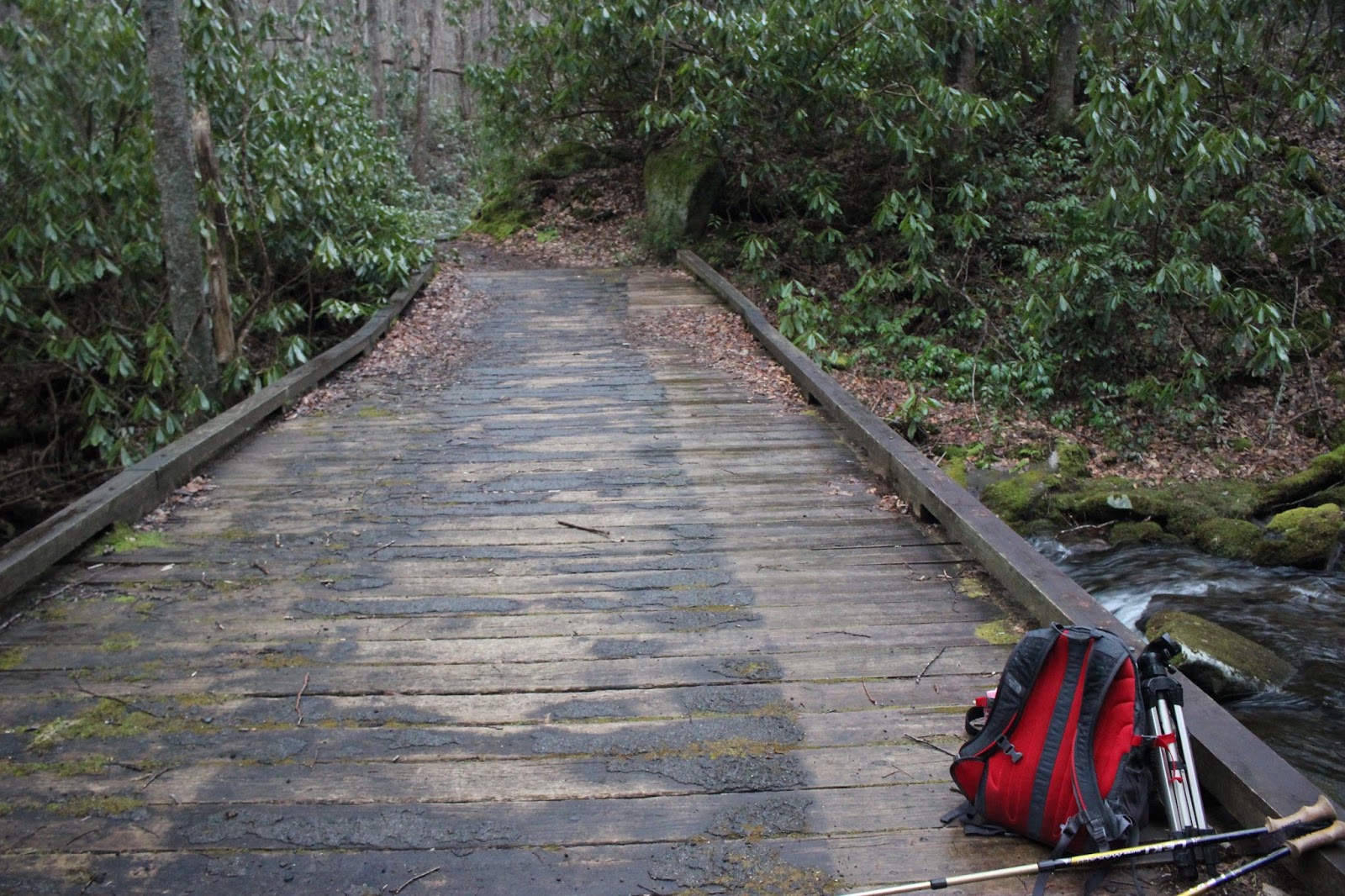
Bridge over Indian Flats Prong. It looks a little wonky, but it is sure good to have it.
If you know where to look you can still see the remains of the former bridge and its pilings both above this bridge and below it! It is so old it is coated in moss!
Since the leaves are off the trees I got a glimpse of the falls through the trees!
I had never noticed this before. I knew I was getting close, but it surprised me to be seeing the falls already. I started watching closely now. The falls is accessed by a manway to the right.
In a wide sweeping curve I spotted a manway taking off in the direction of the falls. I had never used it or even seen it before. I felt a little uneasy, but also interested where it lead? I decided to try it and if it played out I'd just turn around and continue on the trail. It was icy and had packed, hard snow on it. I was very cautious because it was over rocks and a slip would have sure hurt.
It seemed like no time I was popping out at the first cascade! I saw the fisherman had arrived at the falls already and stood gazing at the first drop. He apologized for being in my way to which I said nonsense. He asked me "Is this Lynn Camp Prong?" I told him no that it was Indian Flats Prong.
He looked disappointed and confused. I asked him to give me a second and we'd look at the map together. I told him I felt turned around since I had never come to the falls the way I did today.
We looked together and he said what he wanted was the headwaters of Lynn Camp Prong.
I showed him what he needed to do to get there. I knew I was where I wanted to be, but I felt like I had used the tesseract to get there.

I had never seen as much water coming over these falls as I found today! I set up my camera gear and as I did another hiker appeared there with me. He turned out to be Matthew Patterson. A very nice man who is now a friend! How lucky can one gal be? He was an interesting and humorous person to visit with. We were together at the first drop of this falls. He had been here before also.
Once I got my photo of this drop I continued on down stream using the manway again.
It provides rough but possible ways to reach each drop of this falls. I got down to the second one and got some photos.


Second drop of Indian Flats Falls.
I then continued down to the third drop. It has a sloping rock at the upper portion of it. Since the water was so high and since I was alone and the rocks very slippery I had to be more cautious today.
I did get a side shot of the third drop and it was pretty. I got a photo for Cal McNabb of the odd metal bar embedded in the stone of the third drop. Heaven only knows what it was put there for?
I have crawled down to the base of the third drop in the past, but there really isn't a place to stand and you have to just get in the water. I was not going to do that today.


Third drop of Indian Flats Falls.. the upper part of the third.


Metal bar embedded in the side of the third drop. It is about 4 ft long!
I began my hike back out and tried to figure where Paul Gamble said you could get a vantage of all of the drops of the falls? I never did figure it out. I realized the hikers who said they were coming up this way still had not arrived. I wondered if the rain caused them to turn back? The rain had stopped while I was at the falls mercifully allowing me to get my pictures taken. It began again now and harder this time. I ran into the three hikers finally arriving. They were exploring off trail on the way up and were just in no hurry. I had a chance to ask them if there was an UPPER manway to the falls or was I dreaming it? They told me yes there was, but there is a lower manway too. So that settled it in my mind. The lower manway to the falls is better in my opinion. It cuts off a bit of the trip.. perhaps 1/2 mile total round trip distance.
I had been thinking that up at the high end of the manway I'd look to see if I caught any sight of the vestiges of the old Davis Ridge Manway, but my route change did away with that chance.
What I did not know until today was that the first manway I spotted down along the start of those switchbacks on the right.... was the lower end of the loop. It used to take off and going clockwise went above Indian Flats Falls and curved around to the right and went across the top of Davis Ridge and looped back down to what is now the Middle Prong Trail in the vicinity of Log Ridge Branch.
So I had found it after all. Chuck had mentioned it and I was interested in seeing if I could learn more about it.
I met Matthew again on the hike out and we traded contact info so we can do things together.
We are plotting to turn his wife into an off trail hiker. :-) It was a rainy day, but the rain stopped long enough for me to enjoy the hike and get my photos. I made a new, very nice friend. Hopefully I'll get to meet his wife and be friends with her as well.
Wow Dana, you got some awesome pictures! Mine were so so from the time I went up there. That was a few years back so I probably ought to go back some time.
ReplyDeleteThanks. It was fun.
DeleteThis comment has been removed by the author.
Delete