

Mushrooms were abundant today of varying kinds.
Canoe Trip on Chilhowee Lake
First edition of Travels With a Gypsy Blog series
Dana& Kenny Koogler
Monday July 10, 2017
Scona Pictures starting with frame 98
(gallery is a compilation of two trips)

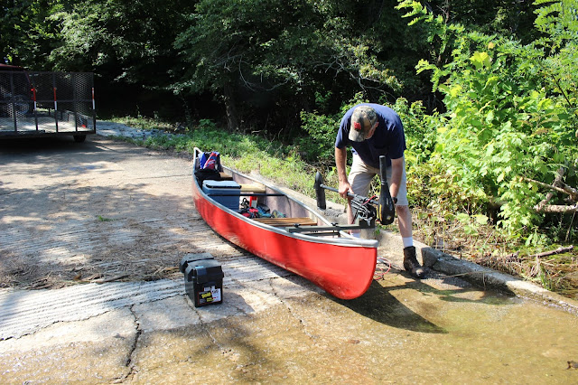
 Boat launch and a look at the lake.


 Cemetery viewed past the huge old oak tree
 Calderwood Methodist Church

 Above and below .. two shots of the baptist church falling into ruin.

 The boat launch at the old ferry landing site.

 Glorious view from Foothills Parkway toward West Millers Cove

(gallery is a compilation of two trips)
Last Summer we bought a canoe from our friend Mike Gourley. We had it out once on
Calderwood Lake to do a float/hike trip. It went well. We were pleased with our purchase.
I had always wanted a red canoe so Kenny agreed to paint it. He got it painted this season.
He also had made some modifications and additions to the seating. He did a beautiful job on
both the painting and the seats. We finally got it all ready to go out on our first trip this season.
All the way into July and we had not used it once this Summer! We had several places we wanted to try, but the best one we wanted most was to re visit the Scona Lodge and Resort site.
It had been years between visits. We had put it off because of the water levels being down
in Chilhowee Lake. They reopened the lake to use around July 4th. Kenny had a screwed up week at work. He got stuck on night shift for a week. The only good part of it was that he was just going in and sleeping. Not working the way I worked on nights. He'd come home wide awake and ready to go. We decided to take advantage of it and get the canoe in the lake.
We loaded up and went to Chilhowee. Our daughter, son-in-law and other family members
had been to the lake July 4th and bragged how good it looked. Water was comfortable. It was very clear and clean. We could hardly wait. We went to the Scona Lodge site before by driving down Growden Boulevard and out to the old ferry launch. It is only 0.2 miles one way across there. The problem is that they close the gate and lock it at 3 pm. I did not want to have
the pressure during the entire trip of making it out of there on time. We went instead to access the site from Tabcat Creek boat launch. It is 1.35 miles one way to the site, but you come and go when you please. We would also have to pass two coves on the way which have waterfalls in them that enter the lake.

Tabcat Creek
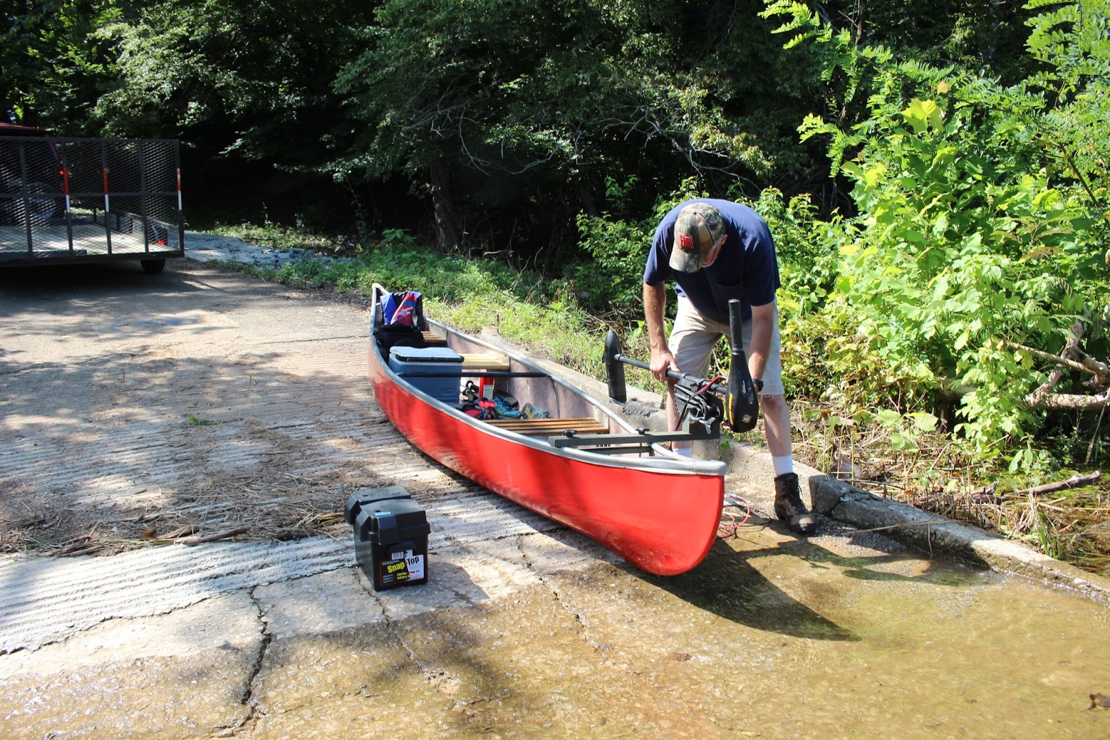
The newly painted canoe and Kenny. Setting everything up.


Clear water and lots of minnows
We got launched without any trouble. We set out across the lake. It was a hot, sunny July day. We planned on having lots of fun exploring. The lake was so clear it reflected back the sky, the mountains and the trees like a perfect mirror. It was beautiful. I looked down as we went along and could see tall weeds and trees beneath the water. It was an odd thing to see, but not completely new. I'd seen things like that before in this lake and lakes in Virginia.

Above is the mirror of Chilhowee Lake. Exquisitely beautiful.
Now is a good time to mention I finally named the canoe. I felt it should have a name.
I am always joking about Magicmomma's Crytal Ball of the Future. I also say Kenny and I are like two gypsies the way we ramble around. I am really like a gypsy the way I dress sometimes. I like lots of colors. I figured what better name for the canoe than Gypsy. So Gypsy it shall be.
I have ordered the decal with the name, but it had not arrived yet. I will be sure to put a special tag on the canoe trip blog entries Travels with a Gypsy. It can be a source for folks who paddle to pick places they might want to visit. I know I always love reading other people's travel blogs. It is one way I decide where to go.
We drew closer to the first cove where Miry Branch Cascade lay. What had been a wide open cove to paddle into and take out was now a tight squeeze. You could barely make out where you'd need to go. The opening was perhaps five feet across if that. The lake levels being down had allowed more than a years worth of Southern vegetation to encroach the lake.
It had grown ten to fifteen feet in toward the lake center from shore. It would die back in time, and return to normal. The lake had only been reopened a week or so. The second cove we passed where Nighway Branch cascade lay... was completely closed. You could barely tell it was ever there. It appeared the further we went along this shore the worse it was getting.

Finally we could make out the flat of the golf course along the shore, but it was barely detectable. We approached the ferry landing. It was pretty, but I had not remembered accurately how it was before. It is a long jetty extending into the water. Behind one part of it is a closed off section of Chilhowee Lake. I also did not recall the outbuilding being there before, but it probably was. We paddled over to it. This was where we launched our kayaks from the previous trip. We paddled straight across. I was now flabbergasted to see the far shore. You could no longer make out the landing on the other side. You used to be able to easily see and take out on the tarmac. It was completely hidden in vegetation. The only way we were sure we were in the right spot was the trout pond barrier below it. We paddled over to have a closer look. The weeds and brush beyond the trout pond barrier were horrible looking.
We did not plan this outing very thoughtfully. We were here in August before and had no troubles. I joked about it being like the jungles near Saigon, but I had no idea how bad it could get. I was seeing that now.
We never saw the first snake that August trip. I knew better though. They are here regardless if you see them or not. We talked it over and decided that we'd best forget it and come back in cold weather when the lake had been filled long enough to kill the weeds and brush. It was a huge disappointment, but we both felt it was the smart thing to do. Neither of us felt safe climbing out into that mess. I was kinda sad, but it was not the end of the world.
I'm sure I'd have been far sadder had one of us gotten snake bit. We decided to go back.
We would put the canoe away and drive round to the road and explore a little bit on land.
We put the canoe away and ate some lunch. We then drove the short distance up to the road entrance to the former town of Calderwood. It is now a TVA property and the company town is a ghost town. It is abandoned and most of the buildings torn down. It is odd to see the sidewalks, house foundations, fire hydrants, flower beds all still there. It sent a pang of sadness through me. Did these people want to move? Were they forced to move? Did they have a choice at all? What would it have hurt to let them continue to live there if they wanted to?
All these were questions spinning round my mind. I am a sentimental fool over history.
We stopped to see the Calderwood Methodist Church and cemetery. It was neat as a pin and well tended and kept. Many of the birth dates in the cemetery were 1790s. No doubt folks from Blount County who were born and raised and died right around here. I recognized lots of local names. Burchfield, Garland, Hardin were some.

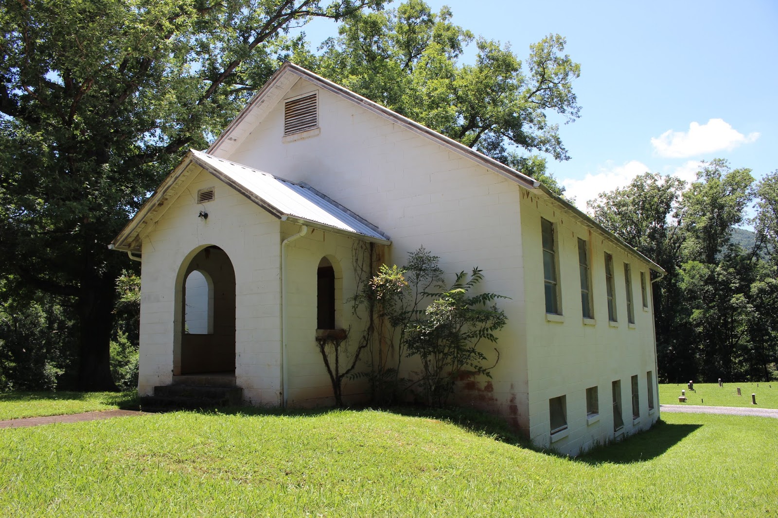

We went on over toward the Calderwood Baptist church. It was quite a contrast to the Methodist church. It is in far worse shape and decaying. It is being reclaimed by the forest. Vines and brush are covering much of it. It is sad to see, but not unexpected. Mother Nature will reclaim whatever we leave unattended.


I plan to return during cold weather to get better shots of this structure and some of the other structures around Calderwood. Once again..... very hot and snakey today.


View across the lake at the mountains. It is beautiful.
We wrapped up our day and headed back in the direction of home. We stopped on Foothills Parkway to enjoy the view. I think the crystal ball of the future needs to go into the shop for a tune up! It is not hitting on all cylinders. Clearly not showing all the ins and outs of things.
I suggest to anyone wanting to access the shores of Chilhowee Lake .. take along a brush cutter or machete for awhile. You're going to need it.
We will return in Winter or Spring 2018 to explore Scona. We will explore Panther Creek this Fall. Still glad Chilhowee Lake has water again. I didn't think I'd be glad, but I am. It was nice for awhile to see the Little T back in its banks. It is proof to me though that time marches on and doesn't care or wait for any man or woman. No matter how sentimental they are.


Abandoned fire hydrant in the former town of Calderwood...........open and spewing water ever so slowly down the bank. No one there to care or to stop it. It sums up the tone of what is left of the town and the way it makes me feel inside.


