Showing posts with label Great Smoky Mountains National Park hiking. Show all posts

Wednesday, August 10, 2022

Walker Sisters & Grayback Falls


Walker Sisters & Grayback Falls 

lead by Dana Koogler
Trip report by Dana Koogler

Saturday Dec. 4, 2021

Hiking With Audi Group

(click the link above for her Facebook Group)

Audelia McCarroll 


Grayback Falls Waypoint on Tennessee Landforms

**Edited to Add Informational Commentary by Barb passed on to her by Jim Lawson ** 8/11/2022


You said you went from Wears Valley into the park, you called it the Wears Valley manway through the gap.  That manway is called The Katy Holler (I know it only by this name) and along the way as you walk up a bit there was a homesite with barn and apple orchards, garden space, etc.  The homesite literally sat right next to the old road.  Jim Lawson's grandfather and thus his father lived up the Katy Holler.  Maybe he will read this and comment. 

   Sometime back during late Summer or early Autumn I was asked to lead a hike to Grayback Falls.   It is a short distance behind the Walker Sisters house.

Kenny and I hiked this in March of 2020. It was a hike/bushwhack. We had fun and had the falls to ourselves!   I got asked by Audelia McCarroll over the Summer would I lead a hike to go see it? It didn't take long speaking with her for me to accept.  She is an awesome human being. Lots of fun and very laid back.    We put it on the books for a weekend in December.   I wanted Kenny to go along since I wasn't sure about finding it again on my own.   

    We scouted it in November around Thanksgiving with our oldest two grandchildren, Michael and Tessa.   We did this to flag it with survey tape in the event Kenny wound up either working or just not wanting to go.   The road to the Walker School is gated off during Winter so we went in via a manway out of Wears Valley.  I have used it many times before.   That is how Kenny and I hiked it in March 2020.   <~~Here is a link to the previous trip report.  This report is a combination of the scouting trip and the actual hike.

    Tessa and Michael are long legged, lanky critters who love the outdoors.

They found the whole thing not much of a challenge.  They were not thrilled with the off trail part, but they didn't complain either.  We had fun.

They were tickled to find the pioneer junk in the woods and get to see a waterfall many folks don't ever know exists.  


  Saturday December 4, 2021-Day of the Group Hike

  I met the Hiking With Audi group at Metcalf Bottoms early Saturday morning.  A large number of people were already gathered in anticipation.

I got my gear and walked over to where they congregated to introduce myself.    I met so many extremely nice, fun people on this trek.  I made all kinds of new friends who were keepers.   It did me a lot of good to get out and socialize.  I  was proud to have been asked to lead the hike and honored to do it.    It is really fun being with a bunch of cut ups in the woods. It is also fun and more interesting being with people who ask good questions!  Questions you may have been wondering as well, but had not asked.  This is the vibe when you go hiking with this group.   It was a large, but very cohesive group.

All getting along. No big egos or show offs among the entire collection. 

Just salt of the earth hikers.   I found myself thinking of Mike Maples a lot on this hike today.  I also thought of my buddy Mike Gourley who has visited this and lead people on an even more involved exploration of the old homesites throughout the forest here.  

       The road was gated today, but Audi wisely suggested we hike in from civilization.  I think we'd have had an altogether different experience coming in from the Wears Valley manway.   They would not have thanked me for that route.   It would have angered and discouraged a good many.

     The hike in from Metcalf Bottoms was leisurely and on a maintained trail.

Not this : Below shown three different parts of the manway that is more of an obstacle course coming in from Wears Valley.


  The day was sunny, perfect temperatures, and fresh air.  The only off trail today was one mile round trip on an unmaintained manway.  There is a very small part of it... say 100 yards where there is NOTHING.  No trace of a trail or manway, but the woods are open here and with it being Winter no worries about snakes. Weeds and vegetation were as optimal as they could be.  The flagging we put in place weeks earlier came in very handy.  I took the GPS and had it navigating for me just in case.  I ended up not needing it at all.

       I had not expected Audelia to be so well informed about the history of the area!  She answered questions for me that I had wondered the previous two trips.  She could tell us how the course of the former road ran back there. She could tell me all about who lived where and what structures went with this pile of stones.  It was amazing!   


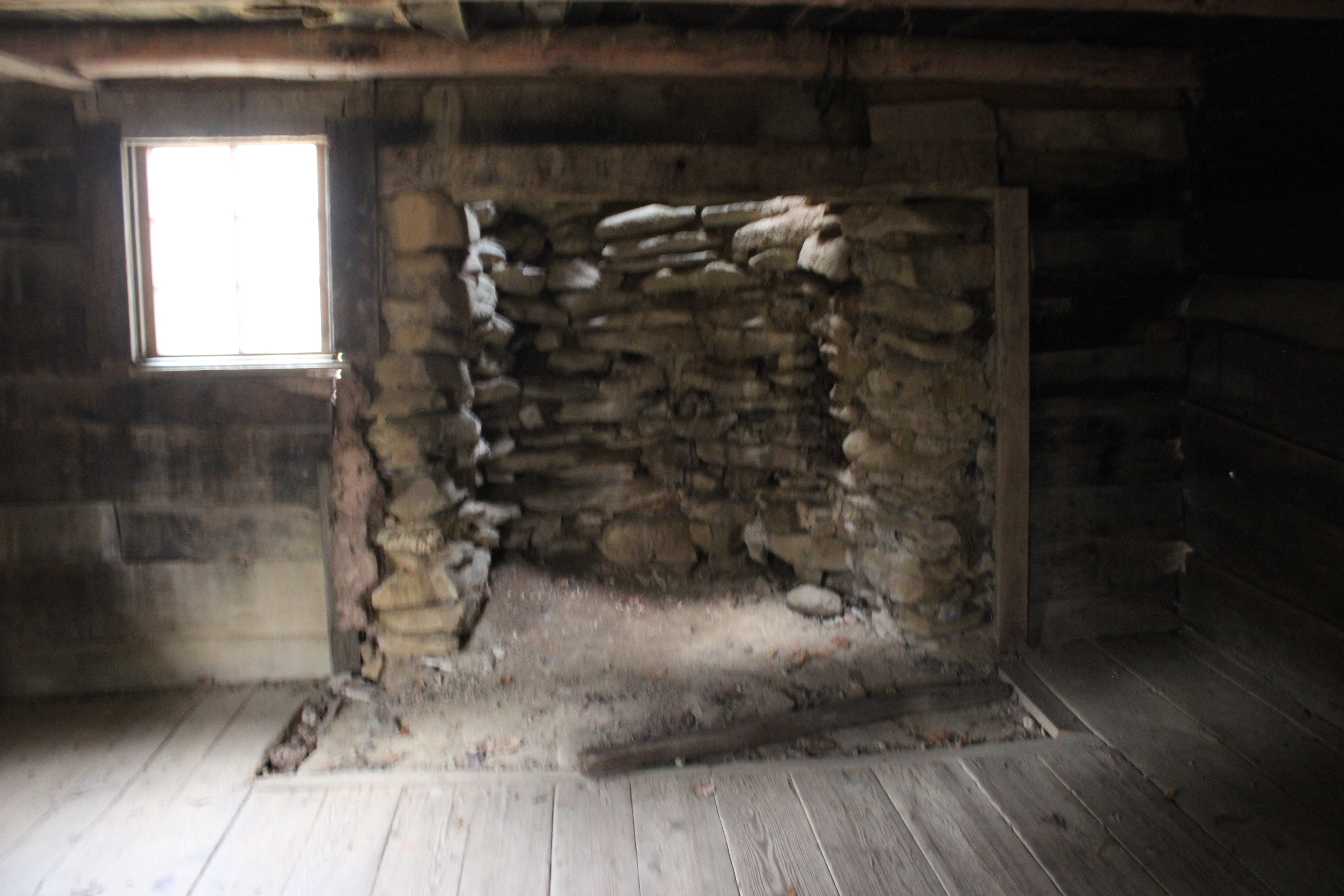
Below are the only photos I took from the scouting trip. Inside the Walker Sisters Cabin.


Above: Grandson Michael by the fire place


Above two photos showing the ladder to the loft in room #2 of the cabin.  Granddaughter Tessa climbed up in there.


Above: The springhouse at the Walker Sisters cabin.


    Once you get to the Walker Sisters cabin in the yard... there is a path leading into the woods. It is not hard to see, but following it is a little trickier.

It gets worse the further you go and the part where there is zero trail.. is just large enough that picking it up from the path you began on would be quite challenging.    So I won't be providing directions to this falls.  I have talked to quite a few people who attempted it and did not find it. I also talked to a couple who DID find it, but went at it the super hard way.   Our first attempt was to try the way they went. It was foolish and we opted to wait for another chance and an easier, simpler approach.


Above: neon orange survey tape  
Above: Spring branch flowing down to Wears Valley on the manway we used trips #1 & 2
Old set of bed springs .. pioneer junk in the woods was a most reassuring marker that I was on the right track


Above: a piece of pioneer junk.. a chunk of porcelain--signs of human occupation

Above: one of several rock piles in the forest on the bushwhack to the falls


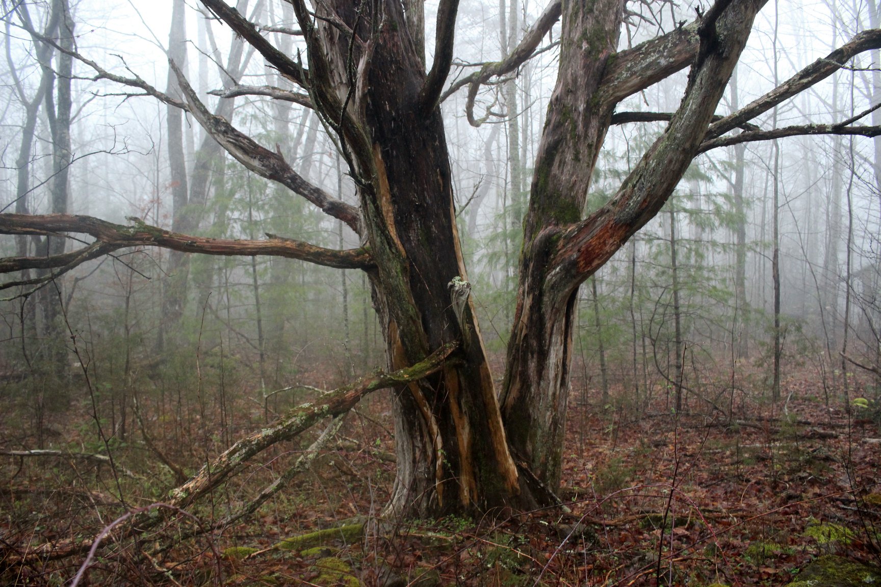
Below: a massive cedar tree is another marker that lets you know you are on the right track. 
Below are three photos I took of Grayback Falls on the first trip. 


Once we arrived at the creek where the falls lies, the real fun began!

The look on Audelia's face was priceless.  She at last realizes I am indeed crazy and who the heck has she enlisted to lead this hike.  We got a good laugh out of it.  But she is a sport for sure.  I will never forget standing IN the creek of this "One Butt Waterfall" and telling her before all present... "I tried to tell you. I gave you plenty chances to back out".  In order to view Grayback Falls it becomes necessary to get IN the creek and clamber around and right up to it close and personal to see it. We had a large group of people. I think it was around 18-20 total including me.  So we took turns climbing up in there to view it. Everyone was cooperative and good natured.  No rush.  

  The upside was this is not a long hike and it was the singular goal for the day.

So we were at a relaxed pace.  

Below is a triple panel of the only photos I took of the falls or this trip today.


  We enjoyed the falls. We made our way easily and carefully back to the cabin.  We  hiked out to the vehicles the way we had come to start with.  It was a nice day.  I am very glad I went. 

Below is a video of the falls


Friday, April 10, 2015

Hiking to Quilliams Falls


Hike to Quilliams Falls

Dana Koogler solo
Thursday April  9, 2015
Total hike distance= 2 miles approx. 

Pictures are here: 
Quilliams Falls Pix


   I  got to looking at the photos of my pals Mike Maples, Rhonda and Mitch Reagan from 
their hike up Sugarland Mountain the other day.  I had done that hike a lot of times, but it hit me
how long it had been since I was there last!  I also got to digging around on You Tube and realized
I no longer had any video footage of that waterfall.   I planned a tough hike for Friday so I needed to 
be careful not to wear myself out too bad on Thursday. I also needed time to do some chores around home.
I decided this would be a perfect hike for the day.    

       I took along the GPS with the way points, but I ended up not using it.  I left it on in my pack in case 
I needed it to track back, but it did not come out again until I took it out to turn it off.   I knew I would be 
able to find the place to park, but I hoped I'd be able to pick up the path since it is an unofficial one.
I had come in a different ways on various trips.  Today for old time's sake I decided to park and come in 
the same way  I did the first time ever.   I recalled pleasant memories of the joy of finding a special 
off the beaten track location with a friend.   

     I was met at once with slopes covered in white trilliums. I also saw a forest floor strewn with 
yellow trilliums and violets.   Fringed phacelia was scattered about in a few spots.   Some of the trilliums
had just begun aging to pink.   The stream looked beautiful with its rippling white water and mossy green rocks.   I had a sunny, warm day for my hike.  The air smelled fresh and clean.   

  
Slopes of Sugarland Mountain filled with patches of large white flowered trilliums. 
Hickory King Branch
Fringed phacelia growing along the banks of the creek.  This flower can form massive carpets!

    I was glad I chose to enter the woods near my jeep and amble around a little.
It gave me plenty of time to see what was blooming and to enjoy walking up the creek. I was able to photograph and soak up the sights of each cascade.   The stream here is not filled with lots
of large cascades, but small ones. It remains pretty the higher you go. It is filled with large mossy rocks.  Lots of springs come out of the earth up here to form part of the headwaters and increase 
the volume of the stream.  

      I could see in the distance to my left a flat area. I knew that was the way I'd come in before.
I finally crossed the stream and was able to pick up the traveled path.   I only had to cross once more.   Crossing number one was because of my choice of route to enter.   Hiking the old 
abandoned highway in is easier, but it is not as scenic to start off.   Higher up if you stay with it
is another old home site and some really good wildflowers.  I missed that today, but  I was not
concerned about it.    It just felt good to be in the woods.   It tickled me to see places and remember them.   My season in Hell... and my subsequent blank pages of memory have shown 
me how valuable those things are to me.  I took my time and savored the simplest things. 
Being able to remember a creek crossing. Being able to see the masses of Dutchman's pipe vine
hanging from the trees and knowing I was on the right track.  I had seen those spots before.
It felt mighty good.   


 Remnants of an old rock wall from a settlers house.  The Andy Quilliams Family lived up in here. He was said to be a moonshiner.  
Deep pink trillium 

    I began seeing old rock walls. I saw an old rock pile that was either a chimney pile or a cairn.
I saw the hole in the rocks that has a pile of stones before it.   Mike Maples said on his post this was an old timey place for refrigeration.  I have no doubt that is so.  Our friend Ed Choate's grand parents told of using Hood Cave as their refrigerator.  My own great grandmother told of  her childhood home being built over a stream. They'd take the floor boards up and set their perishables down in the creek to keep them cold. It also served to hide their food from marauders
who would steal everything you had back then.    

     
 Small attractive slide area in the creek on the way up.  

Near the slide is this "frigidaire" as my Granny Caricofe would have said.  She was deeply affected by the Civil War and would ask me what my navel was? The correct answer was always "It's where the Yankee shot me!".  How was I ever going to grow up right in the head
being raised like that?!  


               I came to the spot where the path turned sharply uphill and entered a rhododendron tunnel.   It continues on to the big rocks up there and to the falls.  Up further is Quilliams Cave.
Due to my time limits today I was mainly wanting to visit the falls and see wildflowers.   
I passed an overlook on the way and had to stop to check out the view.

 Path thru the rhodo tunnel. It was rather hot in this tunnel as no breeze was stirring!
Overlook of the Sugarland Valley 
This view was only partial thanks to the trees, but I still enjoyed it.  Can you see Chimney Tops thru the trees? 

     I passed a little bit of pioneer junk.  I also recognized a home site.  I remembered that on the first two trips up here there were white quartz rocks marking the way.   All those were gone now.
I saw some blown down trees, but was still able to recognize the path down to Quilliams Falls.
I could hear it long before I saw it.   

     
 I sat down at the foot of the falls and just soaked it all in for awhile.  I then crossed over to get 
a different vantage of it than I'd ever had before.  I got a profile shot of it.  Being over here
splashed me with water, but even that felt good.  It also gave me a view of a small spring
flowing out of the bank beyond the falls. 


Spring from behind the waterfall.


Quilliams Falls is about 25 feet high.  


   I sat and enjoyed the falls a little longer and cooled off.   I was pleased to have remembered
how to get here.    I began my hike back.    I met a group of seven senior citizen hikers coming in
as I was going out.     I greeted them and parted company.    It was a good day for a hike and I was
pleased with my choice.   I had recognized point along the creek where my route from last time
up here met up with the route I had chosen today.  I decided I'd go back out that way for variety.
It also brought me out at the other parking spot where I saw what must have been the vehicles of the senior hikers.   I thought of Everett Sherrick and his columns he wrote for the Mountain Times Press    back in the day.  I have a book that is a compilation of all his columns. It is called Trails of Invitation.   His writing style was very flowery and full of prose.  I like it.   It showed his true love of these mountains and forests.  It showed how much he appreciated where he lived.    He wrote of lots of simple old out of the way spots.  I have hiked many of them on his recommendation.   I bet he liked this place.  He had hiked lots of the old highway locations where the road was re-routed leaving the former road to deteriorate.   Much of it can still be found though.

Below is a short video of Quilliams Falls.  The music is Smoky Mountain style
and I think the song is The World is Waiting for You.   I am glad that the world waited on me
to get well and didn't move too far along without me.  :-)