Showing posts with label 2014. Show all posts

Tuesday, January 20, 2015

Mitchell Lick Scouting Trip

Mitchell Lick Scouting Trip 

Jan. 2015
 Dana & Kenny


Mike Gourley, Bob Marshall, and myself had discussed a shuttle hike from the Cherohala Skyway
all the way through Snowbird Wilderness to see the various waterfalls.   Someone in the past told me
they had done the trip that way and it was the ONLY way they'd ever go see Upper Falls on Snowbird 
Creek again.   Rough, but easier coming down that climbing up.    I also became aware thanks to Kevin
Umberger's doings that it was an area that is a maze of old logging roads and a good place to get lost.
I had a tough experience there hiking in the past and knew first hand he was correct.   It is not a place I'd
ever go hiking alone.    He had questions about where in the world "Mitchell Lick" was??

     Kenny and I decided to scout it and find out for ourselves.  It was rough going, but we made it there.
We stopped and had lunch at the gap at the top of the mountain.   It was so cold and the wind in the gap
was blowing pretty stiffly.    The only time we got real cold all day was sitting there trying to eat lunch in 
that infernal wind.      We motored on again and found ourselves in the headwaters of a stream out further.


         We finally got oriented and continued and made it down to Mitchell Lick.  
It is where the old King Meadows Trail #154 and Snowbird Trail #64 come together.   It is a large, nice campsite.   The intersection there also heads west toward State Line.  It is a lonely, remote, isolated spot
upon the earth.     It was hard getting there. It was hard getting back.  At the end of it all I was satisfied 
that I could find my way down through there especially with company and the GPS. 


Squally Creek Scouting for Waterfalls

Squally Creek Exploring

Dana & Kenny Koogler

Thursday January 1, 2015

Photos are here Squally Creek


   We really like the Robbinsville, North Carolina area and Graham County.   
A relative shared with us a tip about a spot he'd been recently with friends.  Back around Halloween.
We'd been keen to go since then, but did not get the chance until after the Holidays.    We started our 
New Year off in 2015 by hitting the trail and exploring.    

     We went up to West Buffalo and  hoped to see some pretty things along Squally Creek.
We were not disappointed as the stream is a series of beautiful cascades, small falls and slides.  
It is wild and green. It also has that gritty element that we have developed a taste for.


Squally Creek stretching on before us.  Looks like some in the Smokies without all the people.
Pretty cascade along Squally Creek

Another small falls along Squally Creek a little further up.
I think there are more falls, but need to go back and be prepared for some creek walking.

     We passed old abandoned trout farms, private residences, Unabomber type shacks, disused hunting cabins, and all sorts of sign of human habitation along the way.   It always makes me very nervous when I see the faded stars and bars flag flying over a shack.   Gulp!  It was cold and the deep shade here in this holler had snow lying about on rocks in the stream. Icicles hung in some spots.   


Snowy ford of Squally Creek . This little area on Earth is so lovely.

   We proceeded up into the headwaters and the terrain leveled a little bit.    It lies below Hooper Bald. 
We keep ambling around and before we knew it we came out to this frame for a shelter..


This is at King Meadows. After studying the map we think it might be possible to follow the drainage down
from King Meadows to Upper Falls on Snowbird Creek.  It would bring you out right at it, but it remains
to be seen whether I do that or not.   

     We ambled around in the mountains and found according to the GPS we were closing a loop.
We passed some hunting or fishing camps on South Fork Squally Creek.   It was so isolated an area it was hard to believe we came upon anyone! 


South Fork Squally Cascades, sunshine, snow!


We made it back to where we parked and this is what Squally Creek is like down at that elevation.
How do you like that coolin' board? 

We had a good time and will go back again. 

Chimney Rock and Lake Lure Anniversary Trip

Roses past season on the Flowering Bridge at Lake Lure.

30th Wedding Anniversary Camping Trip

Dana & Kenny Koogler
married Saturday November 10th, 1984

   
  Kenny and I first ran into one another when I was 12 years old and he was 13.  We
were at Indian Bottom Campground. I was there on a youth campout with the Baptist church.
He was there with a cousin, Kenny Gordon.  I met both of them for the first time. I was shy and didn't 
want anything to do with them.   I ran into him again when I moved and started the tenth grade of high school.  He was wild and loud and I still wanted nothing to do with him.  Little did I know that was going
to be my future.  I had no idea then that I'd end up married to him and have a family with him. I'm sure 
glad we did end up together.   We've been together for thirty-three years.  

    We wanted to go some place different for our anniversary.  We wanted to camp and hike, but 
Kenny's stipulation was that we were not going to do any extreme hiking.   I wanted to make at least
one waterfall hike to work on my CMC waterfall 100 challenge.   We got to talking about it and realized
we had not ever visited Chimney Rock State Park and Hickory Nut Falls.   Crystal and Adam and the rest
of the family had been to Lake Lure many times and loved it.  We figured this was the place for us. 
We'd check out the Chimney Rock State Park and Hickory Nut Falls.  I'd be able to scratch one off my waterfall 100 list.   We could try some new restaurants and do some shopping.  It was going to be fun.

      The problem I had not expected in hunting up campgrounds in the area was the time of year.
Many campgrounds in the area close up October 31st.    We were heading over the weekend just prior
to our anniversary.  I finally found a Good Sam rated campground on past Lake Lure. It was Rutherford
Mountain Campground. The photos of it looked nice.  I spoke to the owner on the phone and he was 
very nice.   We'd stay there and it was a solution to our dilemma.   The drive through the area was gorgeous!
We got set up at the campground and decided to go through Rutherfordton just to see what it was like.
It is a quaint town and the mountains around it are too pretty!  Great views and the Autumn colors were peak there.   We got the few grocery items and a movie at Red Box in town.  On the way back toward
the camper we decided to stop and try a local eatery for a nice meal.   We ate our anniversary dinner at 
Scoggin's Steak and Seafood House.  Lord have mercy!  That place is great and we will make a point of going back!   They have light houses painted on the walls.  I went down through there looking and out of a dozen lighthouses I had visited nine.   I cannot recall which ones I still needed, but that was my growing up.
Outer Banks NC twice a year then still going there when I got to be an adult.

   Saturday morning was chilly, but clear.  We got ready and headed over to Chimney Rock State Park for the day.   We stopped by the Flowering Bridge in Lake Lure on the way.  It was quaint. The views from up top of Chimney Rock were incredible.

     
Chimney Rock


View from up top of Chimney Rock


One shot of the flowering bridge.


We hiked all we could at Chimney Rock. Up those stairs and out the mountain til it ended.


Here is a very bad shot of Hickory Nut Falls. I forgot and left the SD card out of the camera.
I had to do the best I could with what I had. I went back a second time and got shots of some stuff, but
the best I had for Hickory Nut Falls was a zoomed in shot from the parking lot across from it.


Another view of the Flowering Bridge.


     We had a great 30th wedding anniversary trip. We liked the little town of Chimney Rock.
Living near Gatlinburg though.. it is a lot like that.   I did love some of the funky antique shops and would
go back again.   

Sunday, November 23, 2014

Citico Creek Camping Trip

Tiny copper lanterns on the awning of the camper.


Camping at Indian Boundary and Hiking
Dana & Kenny Koogler 
Friday Oct. 21 thru Sunday Oct. 23, 2014

Pictures are here starting with frame 401
(photos in this album are a collection from many  trips over the seasons)
Citico Camping Trip Pix 


 We had long planned a camping and hiking trip to Indian Boundary Camp Ground.
We wanted to relax and do some enjoying Fall colors. Sit by the camp fire. Enjoy
each others company in private.  Unplug for awhile.  We had no great ambition, but
did decide to use the trip to the area to see about accessing the one hundred foot
waterfall on Jake Best Branch.   We had tried before when I was getting over being
sick and found the top part.  It was a single thirty five foot falls set apart from the 
main falls by quite a bit.   We got camp set up and decided to try to find the falls.
 
 Our rig at Indian Boundary for our Fall excursion. 

  The day was perfect. It was sunny with blue skies and mild Fall temperatures.
Autumn colors were past peak at the top of the Skyway, but peak around the mid to lower elevations where we were staying.   Very pretty. Not the most brilliant Fall we've ever seen, but 
good.  We are always glad for the change of seasons and Autumn is a favorite.  

   We set off toward Citico.  It was surprising how few people were camped there.
We saw perhaps two camps in total.  I think that is a record low!   We went up toward Cold Springs Gap and decided to try again from the top to reach the big falls.   The colors on this road and the scenery were splendid.  After much struggling we bombed out again.  We got within 200 feet of the Falls, but the terrain is dangerous, steep, unforgiving.  We had some laughs at the idiotic, self flagellation we put ourselves through sometimes all in the name of waterfalls!  

    We drove back down the road checking GPS coordinates and distances from the destination point.  We finally went back down to The Narrows of Citico Creek. Here the river bends in a sharp oxbow.  One day in the future the water will erode through and there will be a section of Citico Creek cut off from itself, but for now it is a sharp bend and only a few feet between one side of the ridge and the other.  The cliffs here are steep and crossing Citico here would always be a wet foot crossing.   We thought perhaps we could locate Jakes Best Branch by coming down to the Narrows and accessing it and then just following it up. Kenny kept trying to explain to me that "we won't have to cross Citico Creek here".  I was unable to get him to understand and accept the lay of the terrain until long after we'd returned home to Kügler Haus and I showed him on Google Earth maps from the satellite view.   He then capitulated that I'd been correct.  He still pointed out an area coming in from one side but down lower than what we'd tried two previous times. He thinks that should be the next attempt. I agree that is what we'll try.  Frustrating? You bet.
New to us? Not a chance.   We have visited so many of the "easy" waterfalls in the guidebook and
on Tennessee Landforms that what is left is the hard stuff.  It is going to be this way sometimes.

       Citico Creek was lovely and gloomy in the evening sun.   We just soaked up the 
pretty weather, beautiful scenery and scent of Autumn.   


Citico Colors up high


Double Camp area in the evening glow.


Double Camp again in the sunshine. Winter will come with those gray days that make us long
for the sunshine and warm days.

Sitting by the fire in the evening.  It got cold!

   We had a nice dinner and enjoy sitting around the fire talking.  It was quiet and peaceful.
We discussed what we wanted to do the next day.  I had been wanting to hike to Wildcat Falls
for a couple months.  I had only been there once and that was with Kenny in Summer time.
I did not feel confident in going alone on this hike or I'd had already done it.  It is Joyce Kilmer-Slickrock
Wilderness and the trail in to the falls is a little confusing.  Kenny liked the idea so that is what we planned
 to tackle the next day.  We'd need our blaze orange because it is bear hunting season.

     We had a nice breakfast the following morning and packed us a lunch and prepared to make a
day of it.  Robbinsville here we come!  We drove all the way across the Cherohala Skyway and it was beautiful. I knew from having seen Fred Deegen's photos on Facebook that the upper parts were done.
I figured as much even without seeing them.  The upper portion of the Skyway is 5,000 feet elevation or more.  It is going to get done leaf color wise before either end of the road.    

     We arrived at Big Fat Gap parking area to a whole passel of bear hunters and dogs.
We had hiked it before as a nine mile shuttle.  We had a vehicle here at Big Fat Gap and one at Cheoah Dam.   We went all the way through and got to see Wildcat Falls and Lower Falls on Slickrock Creek the first time.  Today we'd just do an out and back.  We encountered many hikers, backpackers and bear hunters with their dogs.     It was down hill on the way in and would be all up hill on the way out.

    We did not have any trouble until we got to the intersection just before Slickrock Creek and fortunately a fellow hiker saw us struggling with which way to go. He quickly righted us and once we got past that snag we never had any further trouble.   We repaid the favor on the way out by getting a hunter his dog back safely and helping some fellows who were backpacking.  They were searching for the way to Big Stack Gap
and we were able to set them right.   I had been very comfortable temperature wise though the day
began quite cold it warmed up to 70 degrees. I was glad I wore shorts and brought my water shoes.
I did wonder on the hike in "Why does my left instep feel different from my right?" but dismissed it.

     We saw some signs of the old railroad and some pioneer junk today in the woods.

 Here is an old wood cooking stove!


Slickrock Creek in the afternoon light on our way back.  This is one of my all time favorite areas to
hike. Kenny loved it so much he has agreed he will go backpacking with me here!

  Slickrock Wilderness is for me what the Smoky Mountains used to be. I still enjoy hiking there, but the
politics and regulations, the manipulations, the crowds, etc have spoiled it for me.  I cannot feel any of that
when I am here and it helps me recall how the Smoky Mountains and hiking there used to make me feel.
Today was one of those days that feels like it should have its own sound track.

       Many creek crossings today. I think there were seven or eight.  Most were ok, but three of them
required water shoes to negotiate.   I noticed on the way in "I have water .. just a trickle.. coming in the toe of my left boot.  Why is it only coming in my left boot? Why is it coming in at all? These boots are only a year old!  They shouldn't be leaking at all on these shallow crossings!"  But again.. I dismissed it. My mind was on the beauty of the forest, the stream.. how incredibly clear and perfect it was... and on the crossings.
Making them safely.  Once across Slickrock Creek just above the first drop of Wildcat falls is a narrow ledge of stone you have to make your way along.  I was very focused on that and not fretting over minor
things like leaky boots.

   It was not long until we came to Wildcat Falls.  It was even prettier than it was in Summer on our first visit here!  The Autumn leaves framed it with orange, red, gold, and copper.   It had more water coming over it today than it had then.    We sat down here to have lunch.  Beech leaves of yellow, gold and copper came floating down in flurries.  It was a memory I will treasure. I'm here with my hubby eating lunch in this pretty spot.  It is perfect.  Sitting there soaking up the scene and another memory came creeping back to my mind.   I laughed.  I turned around to ask Kenny if he remember this spot and the rock we were sitting on?
He did.  You know if it involves these two outlaws it is not going to remain a Hallmark moment for long.
We laughed remembering getting busy behind the rock we were now sitting on to eat lunch.  It IS a beautiful spot and inspires romance ok? 

   
Wildcat Falls has four drops total. The lay of them prevents a getting a clear photo of all of it at once.


This is the trail such as it is.  not really as bad as it looks.

http://cumberlandgal.smugmug.com/Travel/Hikes-and-Scenic-Drives/Cherohala-Skyway/i-hxLnrXT/0/M/Citico%20165-M.jpg
Another vantage point to photograph Wildcat Falls.

   We fed the dog here and enjoyed the area.  We made sure to feed him so he'd follow us back out.
We began our hike back out.  It was easy at first.   One of the stops on the way back I sat down to
put my boots back on and wondered why one shoe lace was brown and the other black?
The reason was simple. I had on two different boots! The left boot was one of my old Vasque boots.
The right boot was my new Lowa boots!  We had a good laugh over that. No wonder one was leaking
and did not feel the same!  I am like the court jester without meaning to be. I don't even have to try.
I have all my life dressed myself funny. Grandma Edna called me Glady's Earl because of it. Dad called me
Gravel Gert. 
I really lived it today.   I will leave the house with two different socks, different shoes, dress hung in the back of my panty hose, hair sticking up, frizzing out, shirt wrongside out,  pimple cream on my cheek, mismatched colors, etc.  I really have tried to not be that way, but after fifty years of it.. it ain't likely to stop.


This was taken just prior to me realizing I was wearing two different boots! ha! Kenny and his sexy legs.
http://cumberlandgal.smugmug.com/Travel/Hikes-and-Scenic-Drives/Cherohala-Skyway/i-d788d5q/0/M/Citico%20192-M.jpg
We took a blessed wrong turn and this is what we saw!  We also saw Santeetlah dam for the first time!
Everything we encountered today made us not want to leave and plan for the next trip back to the area.

   We hauled our tired carcasses back up that hill to the parking area.  I think the uphill is about 1.4 miles
It is not that bad, but Kenny tortures himself and me by talking about how awful it is.  I have to get in a good
head space for hard things to dull the pain of the effort.  He doesn't seem to know how to do that and what
is worse.. he tries to keep ME from doing that.  I got on him about it and made him stop.

We had a neat experience on the way out of two owls calling one to the other!  One called out. The other answered. 


http://cumberlandgal.smugmug.com/Travel/Hikes-and-Scenic-Drives/Cherohala-Skyway/i-wcStwdk/0/M/Citico%20183-M.jpg
Slickrock Creek and a pretty cascade

     Back at the camp we fixed dinner and rested.  We talked. We sat by the fire again.
We were tired and went to bed with the chickens around 9 pm.  It was nice to be unplugged from the
internet and TV and phones.   Good to get away.

    Next morning we slept in.  Ate a big breakfast.  Did an easy hike to Fall Branch Falls.
Enjoyed the colors along the Skyway.   We packed up and went home at a decent time.
Trying not to make these camping trips such marathons that they wear Kenny out.

We did not winterize the camper, because we planned another camping trip to Chimney Rock and Lake Lure in two weeks for our 30th Anniversary.


Colors along the Cherohala Skyway at Turkey Pen


http://cumberlandgal.smugmug.com/Travel/Hikes-and-Scenic-Drives/Cherohala-Skyway/i-q29jGPR/0/M/Citico%20255-M.jpg
Fall Branch Falls. Today was an easy hike and working on learning different techniques with my camera.
I'm still trying to gain a little mastery over it.  Kenny helped me make some progress today.
I am a slow learner any how and brain damage from illness hasn't made me any smarter.

Tuesday, October 7, 2014

Virginia Visit

New England Asters blooming by the roadsides
in Rockbridge County, Va. 


Virginia Visit--Back to See the Family

Dana & Kenny Koogler

Thursday Oct.2 -Sunday Oct. 5, 2014


   We had been trying for some time to get back to Virginia which is our home state to visit
our family.   We finally got the time to go and while neither of us is a fan of the five hour drive it is
always worth it.  The drive was very pretty and Autumn color is coming to the Old Dominion.   
The beautiful Blue Ridge and Alleghany Mountains were living up to their name.  Ribbons of
winding deep blue to either side of I-81 were hard to take your eyes off.  

      We pulled into Lexington, VA and coming off the ramp onto Route 11 --The Valley Pike--
I was overwhelmed at the sight of House Mountain.  I got a lump in my throat and just whispered
how good it looked. Kenny reassured me "We'll hike it one day."  I was pleased just to see that 
dear landmark.    We grabbed a quick dinner in Lexington before we headed out to the farm.
We did not want to wait too late to eat and did not want Ma to have to fix dinner tonight.
She is getting over pneumonia.  

     We got out to the farm and visited a little bit and then went to bed at 9:30 pm.  
I slept well.  We enjoyed breakfast with Ma Koogler and lingered over coffee.   We finally decided we'd all go out to dinner that evening. Today we'd take a ride on some old country roads. It was a scouting mission
to see if Kenny could find a shorter access route for hiking to the Jump Mountain Summit.  I was
ok with hiking the 9 miles, but he believed he could find an easier way.  Turns out I was right and the way is to simply hike.    I doubt he will go with me, but he might.

     The backroads were beautiful and quiet.  Autumn color is creeping in and we saw some pretty leaf color.
The sky was overcast and Jump Mountain's summit was in a black thunderhead the entire time.
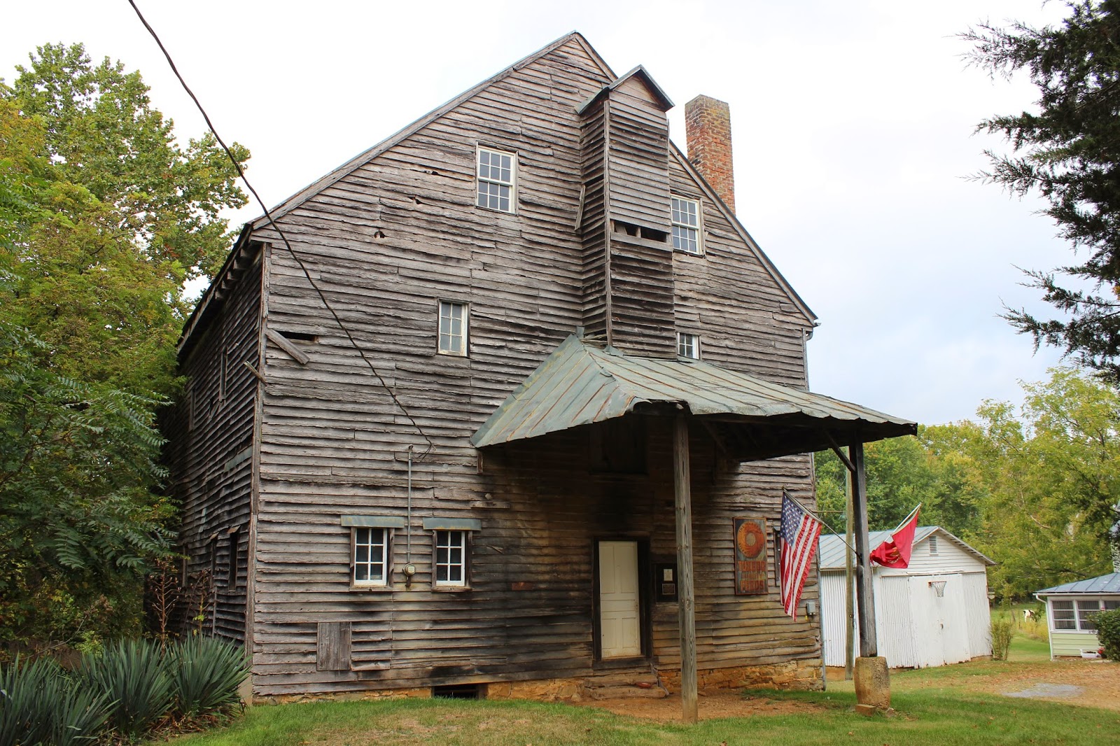
I saw something I did not even know existed. We passed Hayes Mill.  It is yet another old grist mill in our area. I may have been past it before, but if so I do not recall.    It is quite scenic.  I got out and walked around. The mill was dated 1901 on its corner stone. 
Corn fields out in Küglerville.  Its kinda like Hooterville on Green Acres only its even more rural than that!
Corn. Cows. Trees. And a whole lotta nuthin.


 Hays Creek Mill
 Mill Wheel at Hays Creek Mill
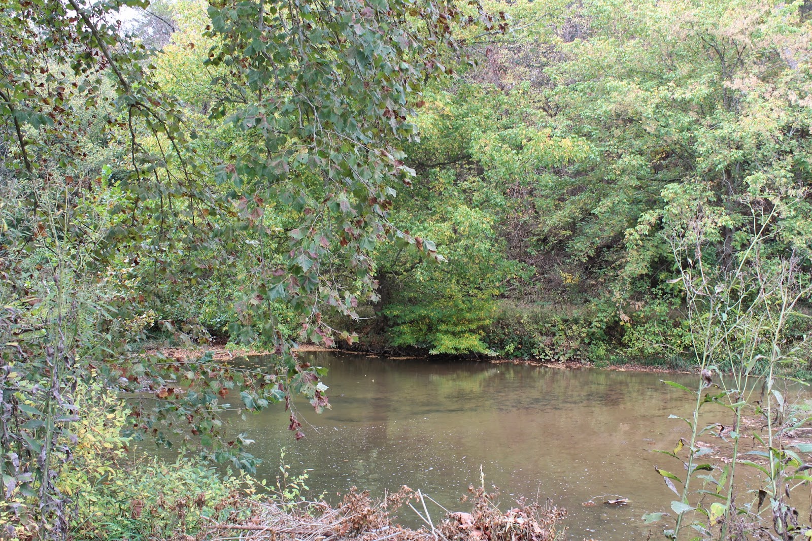
 Hays Creek behind the mill itself. Very pretty spot.
Hays Creek Mill founded 1901 according to this stone. 


Maury River in Rockbridge Baths, Va.  
 Driving down dirt roads.
Beautiful rolling hills of Rockbridge County Va and Jump Mountain with its head stuck in the clouds.

    Back at the farm we were treated to Ma Koogler's wonderful cooking for lunch.  Virginia is heavily influenced by German immigrants cooking.  Out here we are in mainly Presbyterian country. 
We decided to all go out to eat at the Mill Street Grill.  I had oysters that night for the first time in a long time.
Delicious!   Ma had a list of things she needed help with that Kenny and Chris were going to help her with.
They finally convinced me to take Pops truck and head down to see my mother.   My sister Val Graham works at Shear Dimensions Day Spa . Mom went and got a hair cut and I got a massage from my sister.
It was much needed. I'd been suffering with a shoulder injury since March and she fixed it!  Why did I wait so long to get it looked after?

       I went shopping a little while with Mom.   We hurried home to get ready to meet everyone for dinner at Mill Street.  While we were waiting to be seated we ran into Dale and Michelle Gregory! More family!  We had a good time catching up with them.  It was date night for them so we tried not to monopolize their time.
We had good food, a warm, relaxed atmosphere, and good conversation for our meal.

       Saturday we took Pop's truck back to the farm and visited with Ma a little. Emily, my niece rode along.
We went out to Wades Mill and bought flour and products.   This is grist mill country I'm telling you!
That mill is only about five miles from my old house as the crow flies.   Pretty countryside out there.
Saturday night Mom fixed lasagna for dinner and it was perfect!   We attended a concert by Terra Voce at Eastern Mennonite University in Harrisonburg, Va.   Here is a video clip of my favorite tune they performed.
Two encores!  They are really something. Not at all the regular orchestra music, but very lively.


 Terra Voce performs Arrasta Pe.  "Drag the foot". A Brazilian choro composition.


   Sunday we all went out to breakfast together at Cracker Barrel in Staunton.  It was good to see Jim
and Debbie my in laws and my nephews and nieces.  Matthew Koogler my 17 yr old nephew is cancer free and he was there. I told him I was proud of him and hugged him. I also told him next time I saw him I wanted him to weigh three hundred pounds!  He laughed.

     We hated to go, but it was back to Tennessee that afternoon.   The drive back was uneventful for us
which was good. The air was growing cooler and the mountains were pretty again today.
I thought on the difference in my life between the time I lived in Virginia and the time I lived in Tennessee.
We don't really want to move back.  We've made a life for ourselves and a home in Tennessee now.
I do miss our crazy, wonderful family sometimes though.   My brother in law Jim is still out of his mind.
No one does inappropriate comments better or sneaks them in more unexpectedly than him.  He will have you in fits of laughter. 

     Its always good to go. Its good to come back.


Grapeyard Ridge to Injune Creek Through Hike

Asters were the flower of the day along Grapeyard Ridge

Grapeyard Ridge to Injune Creek Through Hike 
Another Go Smokies Hike! 

Dana Koogler
Marlene Denton
David Ledbetter
Duane Pierce
Mitch & Rhonda Reagan
*Cameo Appearance by Mike Maples*

Sunday Sept. 28, 2014

Shuttle Hike from Roaring Fork the Greenbrier
Total miles hiked 7.5 


    I had a bleak and dismal attempt at a backpacking trip to Big Creek the previous day. 
I got invited to go hiking Sunday by the GoSmokies bunch and I jumped at the chance.   I was 
all about it.   Just thinking of it made me feel better.   We met up Sunday morning at the Greenbrier
Ranger Station at 8:15 am.    Mike Maples was there with us, but our excitement at thinking he was going
with us was short lived.  He had to work, but just came by to say hello and visit for a bit.  I was tickled
I finally got to meet him. I also was pleased to finally meet David Ledbetter.   It was so good to see 
everyone again.   GW Denton was missed as were Mike Gourley, Jeff Cole, Curtis, Cheryl, Betsy, David
and all the rest. 
     We visited a little while then once everyone was there who planned to go we left some vehicles there
and headed to Roaring Fork to set our shuttle vehicle at the end of Grapeyard Ridge Trail. The plan
was to hike from the Roaring Fork end of Grapeyard and split off onto the Injune Creek Manway thus
eliminating the last part of the Grapeyard Ridge Trail that has creek crossings.   It was new miles for me
so I was pleased.   I had been up Injune Creek before as far as the big rock walls, but had never finished it.
Today I hoped I would finally finish it.  
       We started off at the buildings there along Roaring Fork.  I have been by there so many times, but never
stopped to figure where the trail actually was.  It goes back past the buildings and uphill.   It is worth mentioning that Duane said the trail had been re-routed in the past.  I know that I looked back to the 1973 
hiking guide map to check some things we saw.  When the 1973 map was printed Grapeyard Ridge trail 
was not even an official park trail.   It was a mere manway then so it seems.  It ran the spine of the ridge very
similar to what we did today with our chosen route.  Upon first starting the trail veers left and uphill while 
it seems a tail end goes straight along the creek.   The little tail end hanging out there is part of an old access 
to the manway.  It ran from down near the gate on Roaring Fork Motor Nature Trail and paralleled the creek, passed the buildings and went out to the "tail" and dead ended.   Veering off that track to the left was another section of manway that veered left and went up to join with the Grapeyard Ridge Manway about a mile and a half into the hike.   We saw an old official park sign there with the bottom edge damaged.
By the sign was a track leading off, but it was very overgrown with rhodo and I was not even sure it was
ever a path. We had some discussion as to whether it was the end of an old manway or a water bar. 
Other access points that we encountered along the main trail were a manway that runs off to the left of it
and ends down along Dudley Creek at Highway 321 in Gatlinburg.   
        We hiked along at a leisurely pace. I enjoyed everyone's company and we had time to catch up.
It had been too  long.   I was in a totally different frame of mind today than Saturday. I did not care much about how long it took, taking pictures, or any of that. I was just glad to be with my friends and in the woods.  The day was a nice temperature and a little overcast.   I saw lots of gentians along the trail.
I also saw evidence this trail would be a good place to hunt orchids in other seasons.   We spied the 
remnants of YFO's along the edges of the trail near its beginning. I remembered to whine about the uphill since Curtis was not there to do it.  I made sure to take up the slack on the bellyaching.  

     We checked out old home sites, fences, etc. Marlene found an old medicine bottle in great condition.
It was Dr. Thachers Liver & Blood Syrup.  It had only one crack in its bottom edge, but was whole. 
I continued to be surprised and delighted at the mossy stone walls and rock cribbing we encountered
at multiple points along the trip.   We passed one spot where stone walls were built along the creek 
making us wonder if there had been a grist mill there?  It was beautiful.  The woods were waning to Fall.
Leaves were just beginning to come down.  We mainly saw asters, gentian and goldenrod along the trail
for Fall wildflowers. We did see some lingering orange jewelweed and pale yellow jewelweed.  

     Grapeyard Ridge Trail is very pretty and not real hard.  Injune Creek trail is very pretty.
It looks like something out of a Fairy Tale at one foot log we crossed.  I can easily see why so
many repeat trips are made up there.   We stopped and ate lunch along the trail.  
We continued on and saw about ten people total besides us all day.    Most were along the Grapeyard
Ridge Trail, but we did encounter a family of four down on Injune Creek manway.  


Top: Grapeyard Ridge Trail
Bottom: Mitch is explaining something 


       We were amazed at the huge amount of acorns littering the ground on the trail.  It was a bumper crop!
The bears will eat good this year for sure.   We were amazed one of us didn't get beaned in the head by
the acorns continuing to fall off the trees!   We had a pool going. We voted Rhonda most likely to get bonked in the head by an acorn, but I tried to cheat and throw one at her to ensure I'd win. We joked 
that it was like trying to hike on ball bearings or marbles!  One of us finally did get thrown down by 
the little buggers, but I won't say who. :-) 

     We had some partial views along the ridgeline. We saw big trees.   I got to see and learn about
Twisted Sister, a very gnarly tree at the junction of a manway with Grapeyard Ridge Trail.   I had never
heard of some of the places much less seen them.  Duane was who I needed to chat with today.I'd had 
some things bothering me and he shrunk my head for me.   It is a valuable thing to have good friends
to bounce ideas off and to help get things back in their proper perspective.  I left there at the days end
feeling content and like I left the worries behind me as I hiked.  

      I was the only one in the group who had not visited the wrecked "train". Mitch explained it was not
a train, but a steam tractor.  Marlene explained the reason for it ending up wrecked in the creek was that
the operator was drunk as testified to by his own mama!  That would be enough to do it.  It was really neat
and would be worth the hike to see that alone.  

 
Rhonda checking out the old steam tractor wreck. She is videotaping it with her Go Pro cam.


     We got to see CS 32 which is a lovely spot.  Duane is familiar enough with it he pointed out to me
the recent modifications to the site. The bear cables were relocated as was the fire ring.  He seemed unsure
why they did some of the changes to it, but it got done just the same.    

     We turned aside to see the McCarter Cemetery on the way out.   I had hiked Injune Creek many years ago with different friends, and I was not sure if I had visited the cemetery or not? Turned out I had NOT 
seen it before.  They bury the dead up on a hill.  So it was more uphill to get there, but it was short.
It added about 1/2 mile extra to the trip so it was not bad.   

      We eased along toward the vehicles and the trailhead.  Most of the crossings on Injune Creek have foot logs.   It was so pretty.  I had forgotten just how nice it was. 
Other remnants of the old steam tractor. 

        Back at the vehicles we did some quick figuring who wanted to go grab a barbecue dinner and who was wanting to go home?  Dave, Marlene and Duane went ahead to retrieve vehicles from off Roaring Fork before the gate was closed.  Mitch, Rhonda and myself headed to the little BBQ place at the end of the road. I had a nice relaxing dinner with them. It was the perfect end to the day.   I hugged them good bye
and parted company. I hope it wont be long til we meet up again to hike or do something fun.