I'm sure most folks have driven down the roads of our countryside and noticed historical waymarkers. They are out along the roads at or very nearby the spots where historically significant events took place. Sometimes I don't pay much mind to those, but driving back home along route 411 from Vonore I noticed one that said Militia Springs. I tend to be interested in both history and natural features. I especially like springs. I got to studying on the map and about what the spot signified. I went bridge hunting back in Summer in the area. I knew better than to try to plow through the brush to hunt for stuff off trail. I made up my mind right then as soon as the weather cooled down and some of the vegetation died back and snakes went to bed I'd go find that spring.
Our son attended Miracle Lake Christian Training Center a few years back.
They needed some supplies donated and I was happy to help out. I made up my mind that Thursday morning I'd make the drive to Etowah to drop those off. I also figured today would be as good a time as any to hunt Militia Springs. The temperature when I got to make coffee at 6:30 a.m. was 36°. If the snakes were not denned up, they'd at least be laying low.
I had done some studying the map of the area and located two springs on them that met the description given on the historical marker sign. I could see that old bank building along the highway. I figured the best thing to do was pull in and park there and walk through the field with the waypoint I'd pulled off the map.
I plugged it into the GPS unit and started walking into the woods. I don't know exactly what I expected to find. I will say my expectations were low. It doesn't take much to make me happy though. I was pleasantly surprised to run into a healthy stream of water flowing within a hundred feet of the edge of the field.
Below is a photo off the computer showing the map I looked at to locate the springs.
Here is a photo below showing how to use the drop down menu on Tennessee Landforms to change map views. Cal Topo is my favorite for having the most detail.
Below: I have switched the map view to Cal Topo and now you have a lot more detail. You can see the springs indicated by the two blue dots with a blue line . or stream flowing away from them. Google Maps will put a way point in the center of whatever you are looking for. For example if you are searching for Cambridge Road... it will put a mark in the middle of it. Halfway through the entire road. I am guessing it does that with many things. Militia Springs is two points and it appears the software puts a mark almost dead center of them.
Below is a video tutorial of the process I use to get ready to hunt something like I did today. I apologize in advance for the shaky quality of the video. I need to set up the tripod from now on or use the Go Pro.
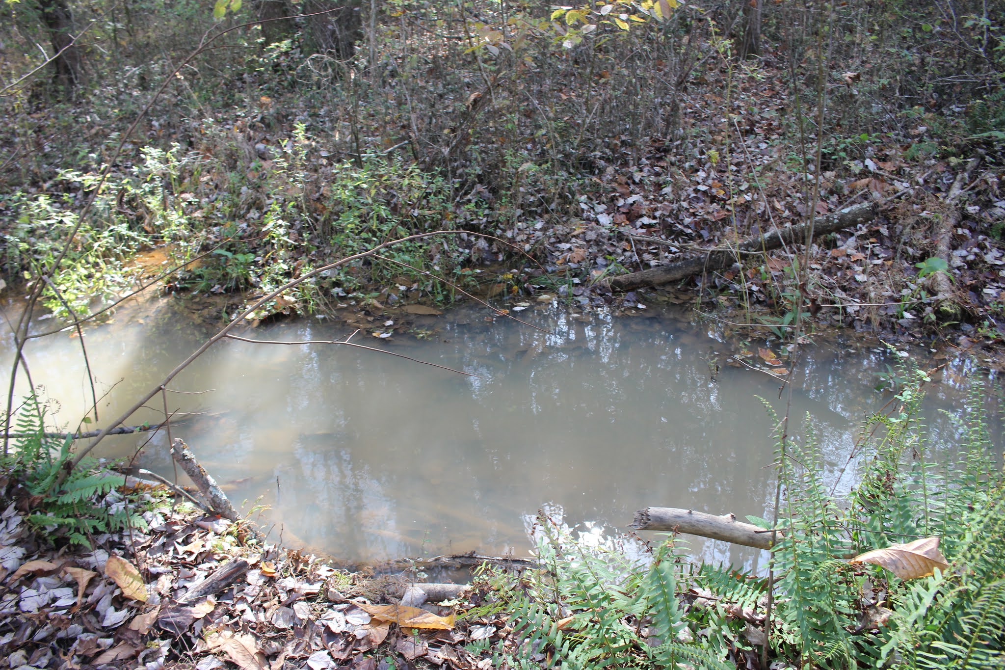
The stream had a milky whiteness to the water. It looked to be the kind of water with a lot of limestone dissolved in it. I had pulled waypoints for both springs.
Above and below: two shots of the stream as I first came upon it. Note the milky bluish white color to the water. I'd have guessed spring water with lots of limestone dissolved just from this right here if I did not know anything else about the area.
I plugged in the one for what I called Militia Spring 1... the northwest one.
They sit on the land in the shape of a sprawled out Y. I headed in the direction indicated following upstream to the source of the water. I was seeing English ivy, Nandina bushes, and baby mahonia bushes scattered in the woods. Those plants can indicate manmade alterations to the land. It is common especially for the ivy, but the shrubs can spread with the help of birds and animals too. I was seeing impressions in the ground like fence posts had been here but were either removed or had rotted out. Along my path to the source of the stream I saw a side stream coming in and guessed that must be the southeastern spring. Militia Spring #2.
This is the side stream shown above where it flows from Militia Spring #2 and the two streams then merge. From here down the flow is greater. The stream empties into Tellico Lake.
Above: I am taking a photo of the point of land that comes down between the place the two spring streams meet.
Pretty shot of the merger of the streams and some red berries in the trees surrounding it. I walked upstream to the Militia Spring 2, but it was not flowing as well and was not as impressive. Lots of mud and downed trees and brush.
It was not long before I could see I was coming to the base of a low hill. I figured the spring must flow out of the base of the hill and I was correct.
Above: a view of the base of the hill and a glimpse of the opening in the ground.. no water flowing out of it though.
Above: a look at Militia Spring.. the larger, northwest one has a constructed spring box and pipe.
There before me was a spring box and a pipe! Just above it was another hole like a small cave entrance into the bank. It was in limestone rock so the area must have a lot of calcium carbonate in the water from dissolved rock. Nearby I saw a glass jug. Either from someone bottling water to drink or coming back to hide next to the spring to drink something a little stronger.
Above: large, clear strong flowing stream of water from the main, largest spring
Above: glass bottle for ???
Above: a different angle shot of the main spring.
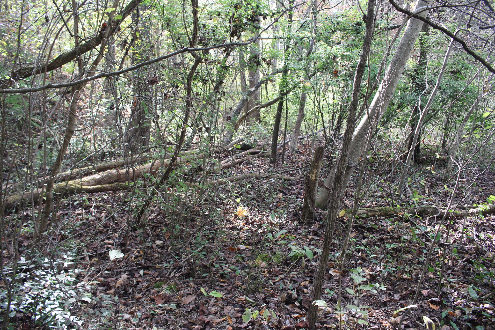
Above: a shot of what the terrain was like. It is brushy and weedy, but the going wasn't too bad today.
Below is a video of the Militia Spring
Above: I took this photo to show how relatively flat the ground is. It would have been a fair place to place troops to camp, but you'd have to be careful. I saw spots in these woods today where it was evident the flat ground ponds up with water sometimes.
Above: I have walked down the stream to see a bit more of the area. Pretty sunshine filtering down through the trees.
Above: I noticed the water slowing and ponding up... I saw this wad of stuff across the creek and thought beaver dam at first. It is just a downed tree trunk with a lot of vines on it. Just beyond this a little more is where it empties into Tellico Lake.
Above: pretty red berries.
Above: scarlet nandina bush in the woods. Saw lots of these.
Above: English ivy is a sure sign of human occupation
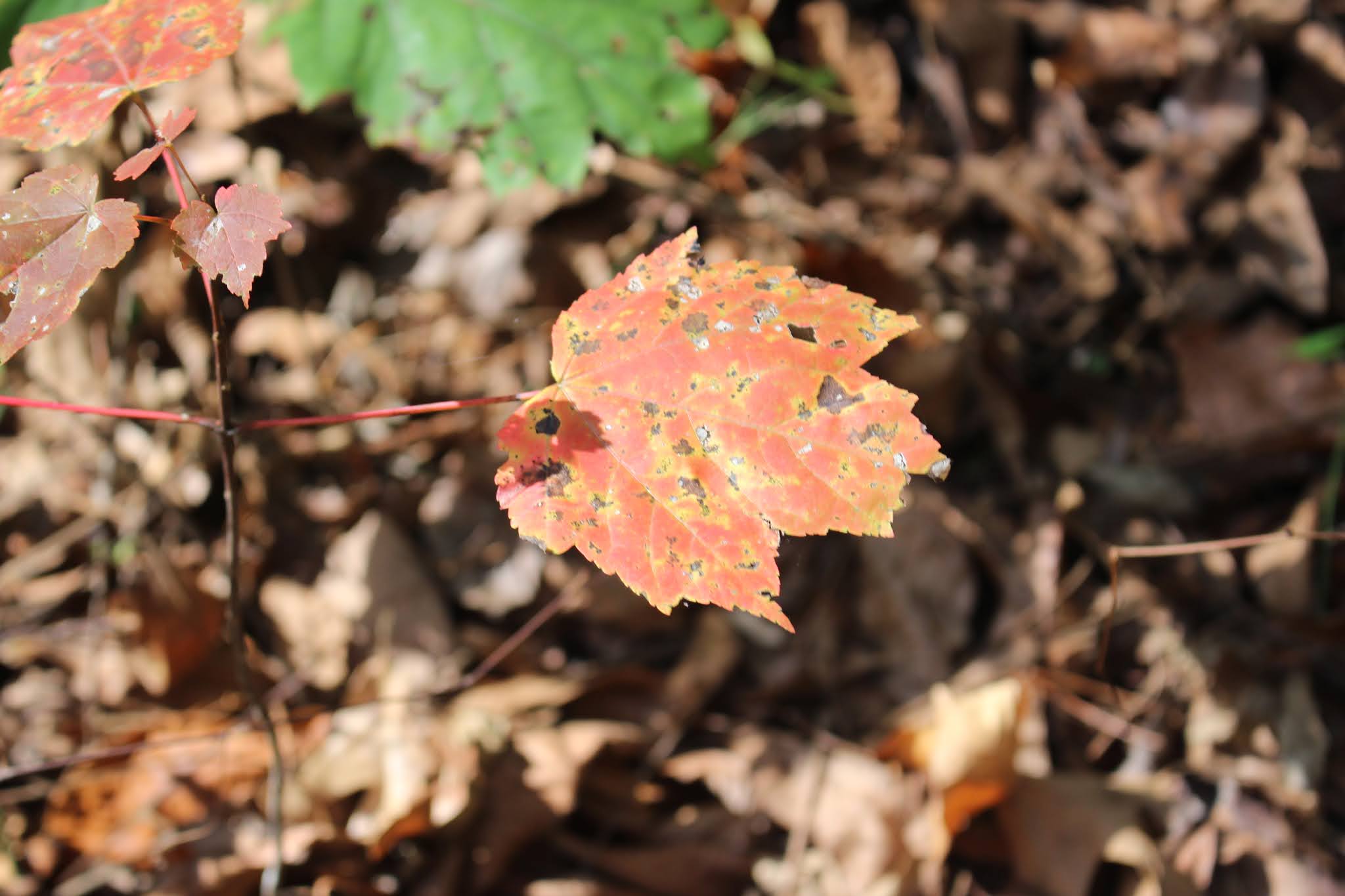
A little Fall color still left above and below--maple leaves
Colorful red berries
Below: leather leaf mahonia .. a baby shrub. These are supposed to be ornamental, but they are non native and invasive. I did read in my Herb Quarterly that they have medicinal properties though. I need to re-read that article as I don't recall what they are good for. I wonder if that is part of why the settlers would have planted the Oregon Grape as it is called. I know the berries are supposed to be edible, but very sour and high in vitamin C.
Finally I realized I needed to get it in gear and head down the road to Etowah.
I had other places I thought I wanted to check out maybe on the way home.
I had to get back across the stream and I used the tree above as a bridge. I was tickled that I made it across balancing and didn't go ass over tea kettle into the creek! I don't usually do too well on logs, but today was an exception.
I was really pleased I'd found what I was looking for and satisfied my curiosity.
I get disgusted with myself for all the times I say I'm going to do a thing and then end up not doing it. Today I had followed through. It was not terribly exciting, but I still had fun and I liked it. It wasn't hard.
I made it down to Miracle Lake in Etowah. I was in the process of dropping off supplies on the front porch when Byron came out to see me. I hugged him and we laughed. They have all had the Rona and got over it just fine! The health department was a great help to them and nobody was even sick enough to see the doctor. I was glad that I did not know about it while it was going on for it would have caused me much anxiety. Rev. Jack Bryan and his lovely wife, Eloise are senior citizens and folks in their age group have to be extra careful.
I got to have a visit with all them and catch up a little bit. I told Byron to let me know as soon as they were ready for families to start coming down to join in worship service and lunch again. He agreed he sure would do that. After what they have done for me and my family they will always be my family. Miracle Lake was God's hands and heart to help heal my family. They helped give me back my son and my life. You don't forget things like that. With the election results in dispute, corona virus numbers climbing, and all the negative things going on in our country and our world this was a blessing today. I got to have prayer with them and it made me feel better. God is still my Father. Jesus is still my savior. The Holy Spirit is still moving in our country today to anyone who asks and seeks it.
The scripture on the gate of Miracle Lake's campus as you leave says the following Bible verse:
"For you shall go out with joy, and be led forth with peace" Isaiah 55: 12
When I left there that is exactly how I felt. Thank you Lord. When things are looking bleak it is time to pray and obey. Keep my eyes on Jesus. Quit worrying about my own self and do something to help others. It always changes my attitude and brings me on course again.
I ended up just going on home, but I just wanted to relax today.
I've got a big day and a big weekend tomorrow.
Places to Explore in this area that I did not get to today:
Wildcat Pointe Trails along East Tellico Parkway
Tellico Blockhouse
McGhee-Carson former state park
Sequoyah Birthplace
Ft. Loudon
Little Tennessee School --historical
Toqua School--historical
Take a photo of the rail bridge across Tellico Lake.
Just lots of reasons for a return trip or two or three.
The site is up and running again! RIP James Baughn the original creator who passed away far too young.
I recently learned of a spot at the very edge of Blount County called Shaddon Mill. It was by an artist by the name of Nick Fielder. He is very talented. You can see his work if you click on his name. I had never heard of the place before so I started down the rabbit hole investigating.
I could see on Google maps satellite view that there was a cascade on Ninemile Creek where this should have stood. A logical place for a mill. I checked Mill Pictures website and it was not even mentioned. I decided to take a ride out there to see the spot and do some bridge hunting.
Above: Painting titled Shaddon Mill by artist Nick Fielder. He painted it from a photo he took in 1969. I'd love to have seen it back then.
It rained hard on Monday off and on all day with the rain and storms growing more intense in late afternoon and evening. It rained all through the night with some flooding going on and road closures in East and Middle Tennessee. It finally quit raining about 11 am. I gave it some time to dry out a little before I headed out to bridge hunt.
I first went to hunt up a wooden span bridge that was a railroad overpass. I thought from Bridgehunter said it was not open. It reads Closed to All Traffic. I was surprised to find the bridge open and folks driving across it. I was also surprised to find Binfield Road. I had long passed the white farm house on Hwy 411 heading south and thought that road was merely a driveway. It goes back to a community. I saw parts of my county I'd never known about.
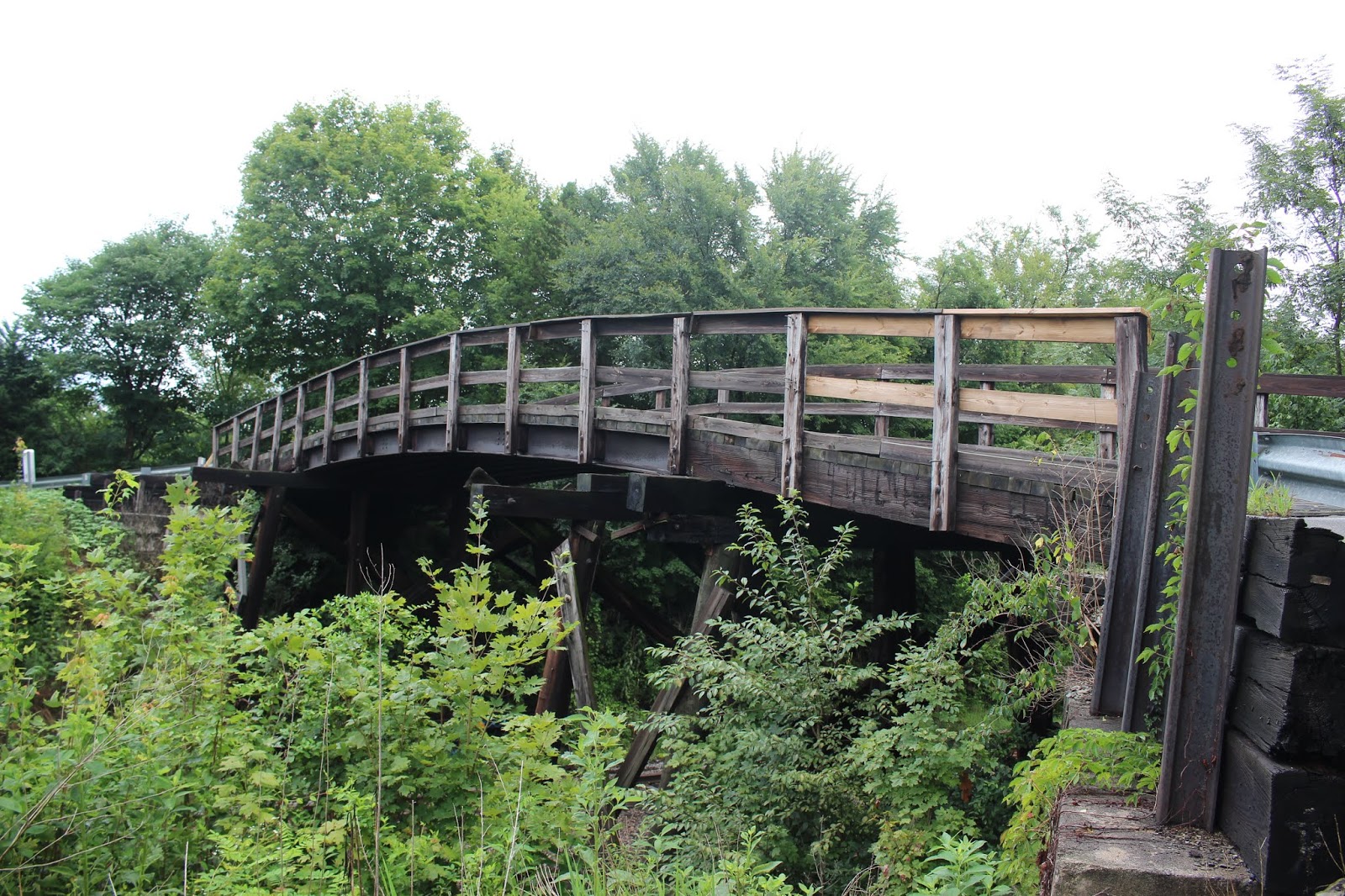
Binfield Road Bridge is open to traffic and stout. I drove across it. Parked and got out and looked at it and took pictures from all sides. I then drove back across it and parked at a pull off just before the bridge on Binfield Road to take photos of the siding, the rail switch, and the bridge from the tracks. The tracks are still active so I walked the grassy area beside them.
I sent in an update and correction to the sites webmaster. Hopefully they can change the info.
Above: Binfield Bridge a wooden span bridge overpass for the railroad from the tracks.
Binfield Siding
Bridge from the south side
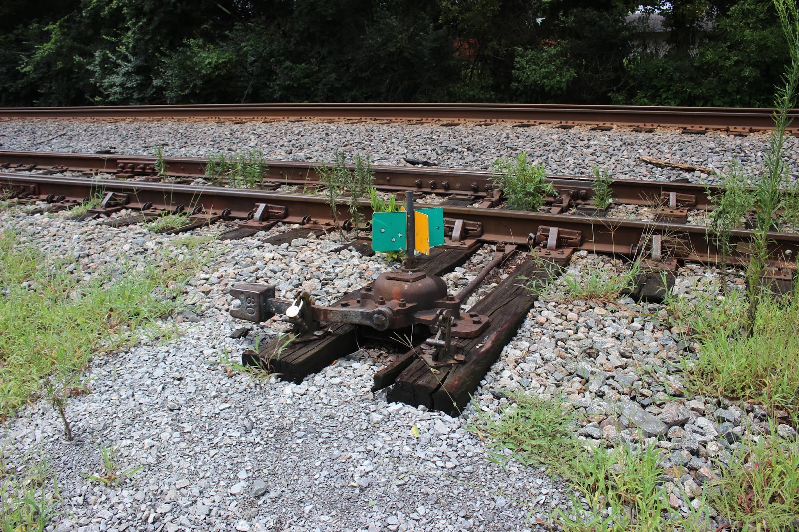
Above: Switch for the Binfield Siding
Above: My jeep parked with the bridge in the background to the left. This is the pull off before the bridge on the south side. Best to park here to walk and see it. There is a spot on the other side, but it is not as handy as it is near a business and homes with barking dogs. Next I headed to hunt for Thompson Bridge. I started rambling round the back roads and ended up going to the wrong spot. I didn't do a very good job on writing down directions for myself and ended up at Howard School Road Bridge first. It was rather pretty, but it is in a precarious spot. It sits on a sharp curve at the intersection of Howard School Road and Trigonia. No place to park really. I jumped out took a quick look and snapped a few pictures. Just about the time I went to get back in the jeep here came a bunch of cars. I decided it was best to get going.
Above: Howard School Road Bridge Next I headed toward the Shaddon Mill site and the Big Elm Bridge since I was close. I figured I'd check that out and then see how I felt about the Thompson Bridge. I had been on Trigonia Road before, but not all the way through it. I had forgotten how narrow it really is! I arrived at a point above Ninemile Creek where the road is along a bluff. I turned onto Big Elm Road. I could see right then that Big Elm Bridge was cool, but the Shaddon Mill site was not going to be much today. The stream was flowing swift and very muddy. It also does not have a great place to park, but there is room to pull over. I got out and looked around some and snapped my pictures. Folks back in this neck of the woods seemed somewhat unfriendly and clannish. I can relate having lived it so not judging. It made me feel like I'd best get going. I decided to let Thompson Bridge wait for another day. Perhaps when I come back to revisit Shaddon Mill.
Above: Big Elm Bridge with very high sides! It sits in a beautiful location.
Above: Ninemile Creek looking off the bridge. It is nasty today. Shaddons Mill was just
above this point.
I think the Big Elm Road is named for the Trigonia Elm which was a record sized ancient elm tree that finally fell to the axes of the TVA in their infinite wisdom. Click the link to read about it and see the photos. Says it was 160 feet tall and spread 147 feet weighed five to six thousand pounds! We have several massive elm trees near our house, but nowhere near that big. Reading about the elm reminds me of another something I can lump together with the Thompson Bridge search. I have still never gone to visit the McGee-Carson State Park that now stands abandoned. One day I'll do those two things at once and go see the Clover Hill Mill and bridge. That should be a good day of it.
I decided I'd best get home to start some dinner and work on my trip reports.
I plugged in the GPS coordinates to the TomTom to help me make it back to Hwy 411.
I knew which way it was, but that maze of roads had me bumfuzzled. I followed it only half trusting its instructions. It took me out through Russell Hollow and I got to see an odd abandoned old house. I love abandoned houses and buildings so I got a photo of it. It reminded me upon first glance of a face that had no eyes! This is one of those far flung ends of the county where folks don't want to live I suppose. It is beautiful and quiet though.
Above: Eyeless abandoned old house in Russell Hollow.
All in all a quiet, fun day of being a bum. I know there probably aren't lots of women
who care for old bridges, mills and abandoned houses, and railroads, but I am not most women. One thing I have learned from my own mother...... is to be myself and not worry about what anyone else thinks.
Below is a video of one of my favorite songs about railroads.. Steel Rails by Allison Krauss