Kenny and I had been waiting for the open dates for a certain section of Catoosa so we could hike in to see the waterfall on Little Cove Branch. It coincided with the finishing up of the lengthy crane job he had been on. He was anxious to get outdoors and stay all day. It was so nice to be able to plan to do something as a couple. We got up Saturday morning packed us a lunch, snacks, and headed out. Before leaving we decided it might be well to take the rope. You never know when you'll need it, and I did not want anything to thwart us this time.
It would have been faster to drive in via Hebbertsburg Road crossing the bridge over Daddy's Creek just before Devils Breakfast Table. I tried to learn what the status of it was after recent flooding. Having no luck with current news we opted to drive the longer way around via Peavine Road. Doing this took longer, but ensured that we would be able to arrive at the trailhead. We knew the river would be up today. One thing we agreed on: We did NOT want to drive all the way out there only to find that we could not ford the river because the bridge was gone or so rickety we dared not use it. We decided also to go all the way down to the bridge prior to hiking so we could see for ourselves and know.
Driving in through Fairfield Glade is always nice. We had never driven Peavine Road all the way through. The new scenery was also nice. We happened upon a fire lookout we weren't expecting. Right by Peavine Firetower Road is Pilot Knob tower. It looks to be privately owned now, but you can still pull over and take a picture of it . It is in good shape. I couldn't help noticing the irony of the fact the guy who bought the property with the fire tower.... had built a detached garage next to it which burned to the ground!
above and below: a couple images of the lookout tower.
The drive was uneventful and long, but the day was pretty. We crossed a bridge over a sparkling stream. We got out for me to see the creek and snap a few pictures. I later looked at the map to learn this was Otter Creek.
Above: Looking upstream on Otter Creek and Below: a downstream view
Below is a short video that illustrates what a nice little spot this is
We pushed onward toward our destination . The only other stop we made prior to hiking was driving a few hundred yards further to view the Daddy's Creek bridge. It is shown below. Rickety looking, not safe for a vehicle, but probably ok for foot travel. We also noticed some fresh survey markers on either side of the river. Can't help wondering if there are plans to replace the bridge in the not too distant future?
Above: a look at Daddy's Creek just above the bridge.
Above: possible survey marker for an upcoming bridge replacement?
Below: If you look across at the parking area there is a mate to this orange marker.
Below: Daddy's Creek bridge. You can see how much water has been up over it by checking out the stream banks on the side where we were. It was under five or six feet of water easily.
We parked along the road and began our hike. The first quarter mile is on a nicely constructed trail. Thanks Shauna and Crew! Once you get to the top of the ridge you can see a bridge below you which crosses Little Cove Branch. The last attempt we made involved trying to bushwhack and rock hop up that stream.
Today we tried another approach that proved more fruitful. There is no trail to the falls whatsoever. We have a little experience finding stuff like this so we figured it out. Today it was easier since we picked the correct approach. It was also easier to find because you can hear the falls well before you see it. All told the hike to it is about 1/2 mile with half on a trail and half off trail.
We did not see a whole bunch of wildflowers along this stretch of trail.
The only thing really blooming well was a good amount of purple phacelia. It bloomed on the sunny slopes near boulders.
Below: purple phacelia
Above: Kenny setting the rope for our descent.
Above and below: a look at the steep terrain filled with boulders, holes, and brush
It was not too bad and soon we could not only hear the falls roar, but got the first glimpse of it through the trees. It was going to be great today if we could manage to get ourselves where we could view it.
Below: first glimpse of the falls
While Kenny was rigging things up I took a few photos and a minute or two of video clips. I got done and stowed my camera gear. I was just finishing up when I heard him Woo Hoo! He had gone on down first and he was happy! I put my backpack on but left my tripod up top. I did not want to try to manage to go down rope with that clunky thing on my side. I'd just have to do without it. I sat down on my butt and scooted forward to the rope and the anchor point. The terrain was sloped and I did not trust it. Rocks the size of shoe boxes were trying to come on down with me. I realized we should have brought helmets, but had not done so.
No matter.. A minute later I was safely down. It was not bad with something to hang onto. I was very dirty, but that is survivable.
We were down and had a front row seat to this amazingly huge, roaring waterfall at last! We went behind the falls and around to the far side. The spray was unbelievable today. Once on the far side we were able to view the falls in comfort and get back far enough to avoid the heavy spray. Little Cove Branch Falls begins high up on the plateau along Hawn Ridge and beyond. Its headwaters lie on both sides of Otter Creek Road. It is a significant watershed, but the flow dwindles down a lot during hot weather. The heavy recent rains had it roaring like a lion today making it worth the effort to venture in to see.
The plunge pool at the base of the sixty foot falls was aquamarine in color. It has a 15 foot section above. I strongly suspect on a day like today there is quite a bit more to see upstream if one could get into the headwaters. I know of old roads up there, but we have not tried those yet. Kenny was so enjoying this adventure today he would turn around and go back to explore in a hot minute!
Above: one look at the clear aquamarine waters of the plunge pool.
We took our time and enjoyed every moment of together time and this beautiful falls. I could feel the negative ions from it recharging my batteries.
Around us the amphitheater of stone that time and the water have carved out was in deep gloom in some places while others were illuminated by pretty sunlight. I saw one clump of icicles hanging from a limb near me, but dripping like crazy. I imagine by day's end they were gone. Boulders the size of rooms were downstream from our position. I could look back and see the point we'd just been at. I could see perfectly how crazy it was the amount of time and effort it took to get that super short distance. It took us twenty minutes or more to go less than 1/10th mile. I measured it and it was right at 0.08. That is about 400 feet.
Off trail travel takes you from miles per hour to hours per mile. This is something to factor in when traveling off trail. You might be a 2 mph hiker on an ordinary day, but that doesn't matter when there is no trail. The terrain has ultimate dominion over your progress.
Below: a profile view of Little Cove Branch Falls
Below: full front shot of Little Cove Branch Falls
Above: a shot from far enough back to see the upper drop of the falls.
Above: We started off on the other side above this boulder about 50 feet.
Above: last icicles in the gorge melting rapidly.
Above: a photo lifted from the Go Pro camera. You can barely see Kenny behind the falls for scale.
Above: Go Pro photo taken directly behind the falls
Below: Go Pro photo taken to the far left of the falls.
We enjoyed our time here, and were delighted to have finally made it to view this beauty in all its power and might!
I spent some time behind the falls getting Go Pro footage. Kenny had gone downstream a little just poking around while I worked on photography. He came back with a report that going up the creek would have been a near impossibility.
Glad we did not try it again.
Above: a pretty cascade below the plunge pool of the falls
And below a video of the falls that includes footage from my Canon camera as well as Go Pro footage.
We made our way over to the rope and climbed up. Kenny made me go first so he could make sure I did okay as well as so he'd be in position to use the rope then retrieve it. That rope made all the difference. I got to the top and I was relieved, but shaking like a leaf for a minute or so. I sat down to repack my gear and get a sip of something to drink then I was good to go. It wasn't bad hiking back, but I noticed the steep terrain more on the way out. I picked a couple different spots where if I had I fallen I'd have gone sledding in the leaves, but not gotten hurt.
It was great to see trail again. It was great to see the road again! Back at the vehicle we had lunch and cooled off. Once we were finished here we planned to go toward Hinch Mountain to look for wildflowers. It involved the long drive back across Catoosa, through Crossville and out into Cumberland County.
We made one alteration to the trip out. Kenny wanted to go by Potters Ford to see the bridge and the Obed River there. I was happy to go along since that is a very pretty spot.
Potters Ford bridge had a small SUV sitting there on it and a fellow who refused to budge. We were thankfully able to go round him and pull over to park at the end. The only other people there were a dad and his little boy fishing from the bank. The grassy area around the bridge was full of tiny pink and white spring beauties. I got some photos of those and the stream while Kenny checked the map to see which way he wanted to go next.
Below: pretty and tiny Spring Beauties
Above: upstream on the Obed at Potters Ford
Below: a downstream view of the Obed
While on the bridge taking pictures I had a chance to speak with the old fellow in the car. He was real nice. He told me he was born and raised right around here. He was 82 years old. He told me that a week prior the bridge we were on was five feet under flood waters! I could see debris on the bridge and the banks so I did not doubt him. He told me that the old bridge was a low water deal and so they'd become accustomed to seeing it flooded or damaged. The area residents never expected to see the "new" bridge here under water. He also told me that there were no longer any fish in the river. He attributed it to the sewer discharge from Fairfield Glade. He said "It wasn't supposed to hurt anything, but that doesn't seem to have been true". I asked him if he'd seen that dad and his son catch anything? He said no and he doubted if they would.
We left and headed out toward Genesis Road and Crossville.
Underwood Branch flows on the left side of Potters Ford Road and was pretty. Lots of cascades coming down it. We also saw one spot where paper white narcissus and double daffodils were on a bank. Someone had to live there in the past.
Finally we were out on the road and heading past Cumberland Mountain State Park to Hinch Mountain. I got my camera ready because I wanted to take photos of Sutton Ford Dam of Basses Creek. It is visible from the road, but there is no good pull over and there are houses all around.
Below: despite having to snap the photo from the vehicle on the bridge it came out rather pretty. I just need to pull in to those folks driveway one day and ask them if I can park there long enough to get some photos. I doubt they'd mind.
We encountered a lot of trucks with trailers.. obviously folks going four wheeling today. It made sense because it was so pretty, but the riding in that area is minimal at best. It is mostly foot travel or old gravel roads. It is getting to the point where far as I know it isn't worth bringing the RZR over here. Today we encountered something that never fails to annoy me. A gaggle of jeepers. About thirty of them all in a pack creeping along at 10 mph on Hinch Mountain. Boring.
We crept along the road in my jeep, but not because we wanted to. It is rough as a cob. My jeep handles it fine, but a side by side has a suspension built for it. It can move right along rapidly. A jeep has to creep. I could tell it was early for wildflowers, but I was hopeful just the same. I was seeing a few things.
A tiny bit of wild geranium, blue phlox, one lone trillium luteum.. supposed to be yellow, but green as grass. Saw a few bloodroot blooms, trout lilies, and rue anemone. I finally found what I was hoping to see.. the main purpose of the trip.
Dwarf trilliums. I found hundreds of them! I got out and photographed them to my hearts content. They are Trillium pusillum... dwarf wakerobin. It is rare and endangered.
Above: Pink form of dwarf trillium
Above: bloodroot is an early bloomer
Above: toothwort
Above and below: freshly emerged grouping of Trillium pusillum
Above: a very pretty pink form of rue anemone
above: purple dwarf larkspur-- very early for this
Below: a nice trout lily. saw lots of these early bloomers
We continued up to one of the turn off roads for Hinch Mountain. This is where we encountered the great long line of jeeps. I was glad to see them get gone.
We did not tarry on the mountain for the higher we climbed the more boring the scenery got. The rock formations on the slopes are pretty cool, but nothing was blooming up high. You do have partial views off the mountain at the valley below.
We went to where the old shacks were just to get turned around. The shacks are still there and DC still loves pussy, money and weed, but not as much as he used to. The graffiti is badly fading and only one of the shacks is still partially standing. I get tickled every time I see this foolishness. It is so trashy, but the graffiti is so white trash caveman that I just can't help laughing.
Shack #2 flattened
Shack #1 flattened
above: shack #3 still standing, but just barely.
and DC still loves pussy, money and weed. Good for you. D.C. must stand for Dumb Caveman.
Once we got turned round Kenny had a navigational swivet as he is wont to do.
He did not want to go back the way we'd come. He asked me if the road got better the further east we went? I told him yes, eventually. We drove Happy Top Road all the way out to Hwy 68 in Spring City. It was a pretty drive. We went past a real pretty turquoise pond I had to get a photo of. We also had a nice view of the plateau.
Turquoise pond
Looking across the plateau at the mountain ranges to the east.
It was a long ride back home, but we were glad to be off the dirt and gravel road onto black top. The rural scenery out Happy Top Road was enjoyable. I put the window down to feel the breeze. The air smelled marvelous! Fresh cut grass is like perfume only better. All in all a great day. I got to see the two main things I hoped for. The big waterfall and the tiny trilliums.
We did not get to rest long once we were home. The phone started ringing.
Our granddaughter Tessa age 7 invited us over to have a steak dinner. uh... yes please! It was great! I did not have to fix dinner at 7 pm. We had filet, pasta salad, baked potatoes, and roast brussel sprouts. That and a big old glass of Hunza water.
We gave our grandchildren Tessa and Michael their Easter baskets which they loved! They gave me a nice compliment. "Nanny these are the BEST Easter baskets ever!" and lots of hugs and kisses. I spent a lot of time personalizing each child's things in their basket. We had to sneak over to Jared & Lydia's next to drop off Easter Bunny baskets. I went in to keep Gabe busy while Papaw sneaked them in the back door. We arrived to their sweet home to hear Mia in her walker yelling at her toys and at her brother. She is six months old and loves to yell.
She hates shoes. I gathered them up on my lap for hugs and kisses. Tippy my granddog had to play fetch with me. Gabe showed me how his remote control truck worked. Mia sat on my lap and played with a busy box I got her.
All in all we had a blessed Easter weekend. God is great every single day!
I'm sure most folks have driven down the roads of our countryside and noticed historical waymarkers. They are out along the roads at or very nearby the spots where historically significant events took place. Sometimes I don't pay much mind to those, but driving back home along route 411 from Vonore I noticed one that said Militia Springs. I tend to be interested in both history and natural features. I especially like springs. I got to studying on the map and about what the spot signified. I went bridge hunting back in Summer in the area. I knew better than to try to plow through the brush to hunt for stuff off trail. I made up my mind right then as soon as the weather cooled down and some of the vegetation died back and snakes went to bed I'd go find that spring.
Our son attended Miracle Lake Christian Training Center a few years back.
They needed some supplies donated and I was happy to help out. I made up my mind that Thursday morning I'd make the drive to Etowah to drop those off. I also figured today would be as good a time as any to hunt Militia Springs. The temperature when I got to make coffee at 6:30 a.m. was 36°. If the snakes were not denned up, they'd at least be laying low.
I had done some studying the map of the area and located two springs on them that met the description given on the historical marker sign. I could see that old bank building along the highway. I figured the best thing to do was pull in and park there and walk through the field with the waypoint I'd pulled off the map.
I plugged it into the GPS unit and started walking into the woods. I don't know exactly what I expected to find. I will say my expectations were low. It doesn't take much to make me happy though. I was pleasantly surprised to run into a healthy stream of water flowing within a hundred feet of the edge of the field.
Below is a photo off the computer showing the map I looked at to locate the springs.
Here is a photo below showing how to use the drop down menu on Tennessee Landforms to change map views. Cal Topo is my favorite for having the most detail.
Below: I have switched the map view to Cal Topo and now you have a lot more detail. You can see the springs indicated by the two blue dots with a blue line . or stream flowing away from them. Google Maps will put a way point in the center of whatever you are looking for. For example if you are searching for Cambridge Road... it will put a mark in the middle of it. Halfway through the entire road. I am guessing it does that with many things. Militia Springs is two points and it appears the software puts a mark almost dead center of them.
Below is a video tutorial of the process I use to get ready to hunt something like I did today. I apologize in advance for the shaky quality of the video. I need to set up the tripod from now on or use the Go Pro.
The stream had a milky whiteness to the water. It looked to be the kind of water with a lot of limestone dissolved in it. I had pulled waypoints for both springs.
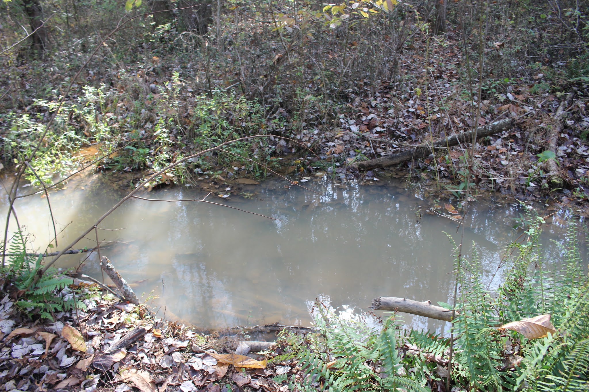
Above and below: two shots of the stream as I first came upon it. Note the milky bluish white color to the water. I'd have guessed spring water with lots of limestone dissolved just from this right here if I did not know anything else about the area.
I plugged in the one for what I called Militia Spring 1... the northwest one.
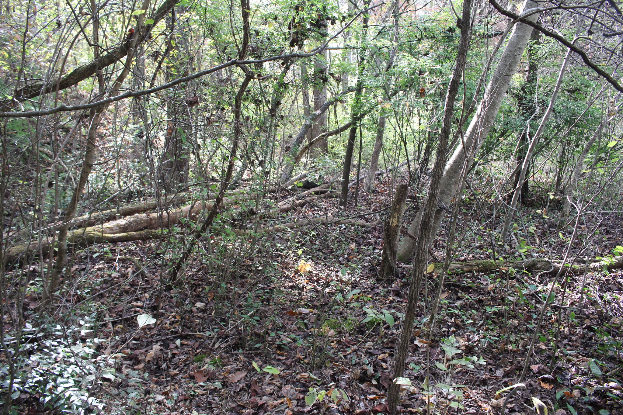
They sit on the land in the shape of a sprawled out Y. I headed in the direction indicated following upstream to the source of the water. I was seeing English ivy, Nandina bushes, and baby mahonia bushes scattered in the woods. Those plants can indicate manmade alterations to the land. It is common especially for the ivy, but the shrubs can spread with the help of birds and animals too. I was seeing impressions in the ground like fence posts had been here but were either removed or had rotted out. Along my path to the source of the stream I saw a side stream coming in and guessed that must be the southeastern spring. Militia Spring #2.
This is the side stream shown above where it flows from Militia Spring #2 and the two streams then merge. From here down the flow is greater. The stream empties into Tellico Lake.
Above: I am taking a photo of the point of land that comes down between the place the two spring streams meet.
Pretty shot of the merger of the streams and some red berries in the trees surrounding it. I walked upstream to the Militia Spring 2, but it was not flowing as well and was not as impressive. Lots of mud and downed trees and brush.
It was not long before I could see I was coming to the base of a low hill. I figured the spring must flow out of the base of the hill and I was correct.
Above: a view of the base of the hill and a glimpse of the opening in the ground.. no water flowing out of it though.
Above: a look at Militia Spring.. the larger, northwest one has a constructed spring box and pipe.
There before me was a spring box and a pipe! Just above it was another hole like a small cave entrance into the bank. It was in limestone rock so the area must have a lot of calcium carbonate in the water from dissolved rock. Nearby I saw a glass jug. Either from someone bottling water to drink or coming back to hide next to the spring to drink something a little stronger.
Above: large, clear strong flowing stream of water from the main, largest spring
Above: glass bottle for ???
Above: a different angle shot of the main spring.
Above: a shot of what the terrain was like. It is brushy and weedy, but the going wasn't too bad today.
Below is a video of the Militia Spring
Above: I took this photo to show how relatively flat the ground is. It would have been a fair place to place troops to camp, but you'd have to be careful. I saw spots in these woods today where it was evident the flat ground ponds up with water sometimes.
Above: I have walked down the stream to see a bit more of the area. Pretty sunshine filtering down through the trees.
Above: I noticed the water slowing and ponding up... I saw this wad of stuff across the creek and thought beaver dam at first. It is just a downed tree trunk with a lot of vines on it. Just beyond this a little more is where it empties into Tellico Lake.
Above: pretty red berries.
Above: scarlet nandina bush in the woods. Saw lots of these.
Above: English ivy is a sure sign of human occupation
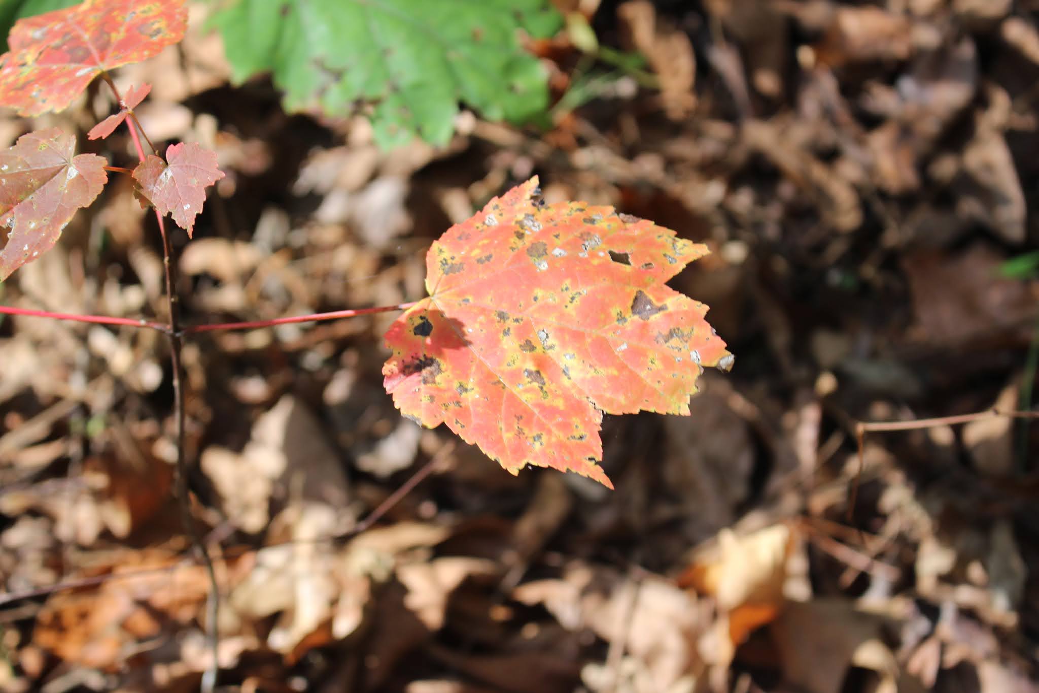
A little Fall color still left above and below--maple leaves
Colorful red berries
Below: leather leaf mahonia .. a baby shrub. These are supposed to be ornamental, but they are non native and invasive. I did read in my Herb Quarterly that they have medicinal properties though. I need to re-read that article as I don't recall what they are good for. I wonder if that is part of why the settlers would have planted the Oregon Grape as it is called. I know the berries are supposed to be edible, but very sour and high in vitamin C.
Finally I realized I needed to get it in gear and head down the road to Etowah.
I had other places I thought I wanted to check out maybe on the way home.
I had to get back across the stream and I used the tree above as a bridge. I was tickled that I made it across balancing and didn't go ass over tea kettle into the creek! I don't usually do too well on logs, but today was an exception.
I was really pleased I'd found what I was looking for and satisfied my curiosity.
I get disgusted with myself for all the times I say I'm going to do a thing and then end up not doing it. Today I had followed through. It was not terribly exciting, but I still had fun and I liked it. It wasn't hard.
I made it down to Miracle Lake in Etowah. I was in the process of dropping off supplies on the front porch when Byron came out to see me. I hugged him and we laughed. They have all had the Rona and got over it just fine! The health department was a great help to them and nobody was even sick enough to see the doctor. I was glad that I did not know about it while it was going on for it would have caused me much anxiety. Rev. Jack Bryan and his lovely wife, Eloise are senior citizens and folks in their age group have to be extra careful.
I got to have a visit with all them and catch up a little bit. I told Byron to let me know as soon as they were ready for families to start coming down to join in worship service and lunch again. He agreed he sure would do that. After what they have done for me and my family they will always be my family. Miracle Lake was God's hands and heart to help heal my family. They helped give me back my son and my life. You don't forget things like that. With the election results in dispute, corona virus numbers climbing, and all the negative things going on in our country and our world this was a blessing today. I got to have prayer with them and it made me feel better. God is still my Father. Jesus is still my savior. The Holy Spirit is still moving in our country today to anyone who asks and seeks it.
The scripture on the gate of Miracle Lake's campus as you leave says the following Bible verse:
"For you shall go out with joy, and be led forth with peace" Isaiah 55: 12
When I left there that is exactly how I felt. Thank you Lord. When things are looking bleak it is time to pray and obey. Keep my eyes on Jesus. Quit worrying about my own self and do something to help others. It always changes my attitude and brings me on course again.
I ended up just going on home, but I just wanted to relax today.
I've got a big day and a big weekend tomorrow.
Places to Explore in this area that I did not get to today:
Wildcat Pointe Trails along East Tellico Parkway
Tellico Blockhouse
McGhee-Carson former state park
Sequoyah Birthplace
Ft. Loudon
Little Tennessee School --historical
Toqua School--historical
Take a photo of the rail bridge across Tellico Lake.
Just lots of reasons for a return trip or two or three.